Stretched along India’s western coast on the Arabian Sea, Mumbai is a city shaped as much by aspiration as by geography: a place people come to find work, build new lives, and stake a claim in the country’s financial capital. It generates nearly 30 per cent of India’s tax revenue and accounts for about 40 per cent of its foreign trade.
As India’s most populous city, with 22.5 million residents – 43 per cent of whom are migrants from across the country – it presents a uniquely hyper-dense urban condition alongside an acute climate reality: extreme vulnerability to coastal flooding during the monsoon season and rising cyclonic threats.
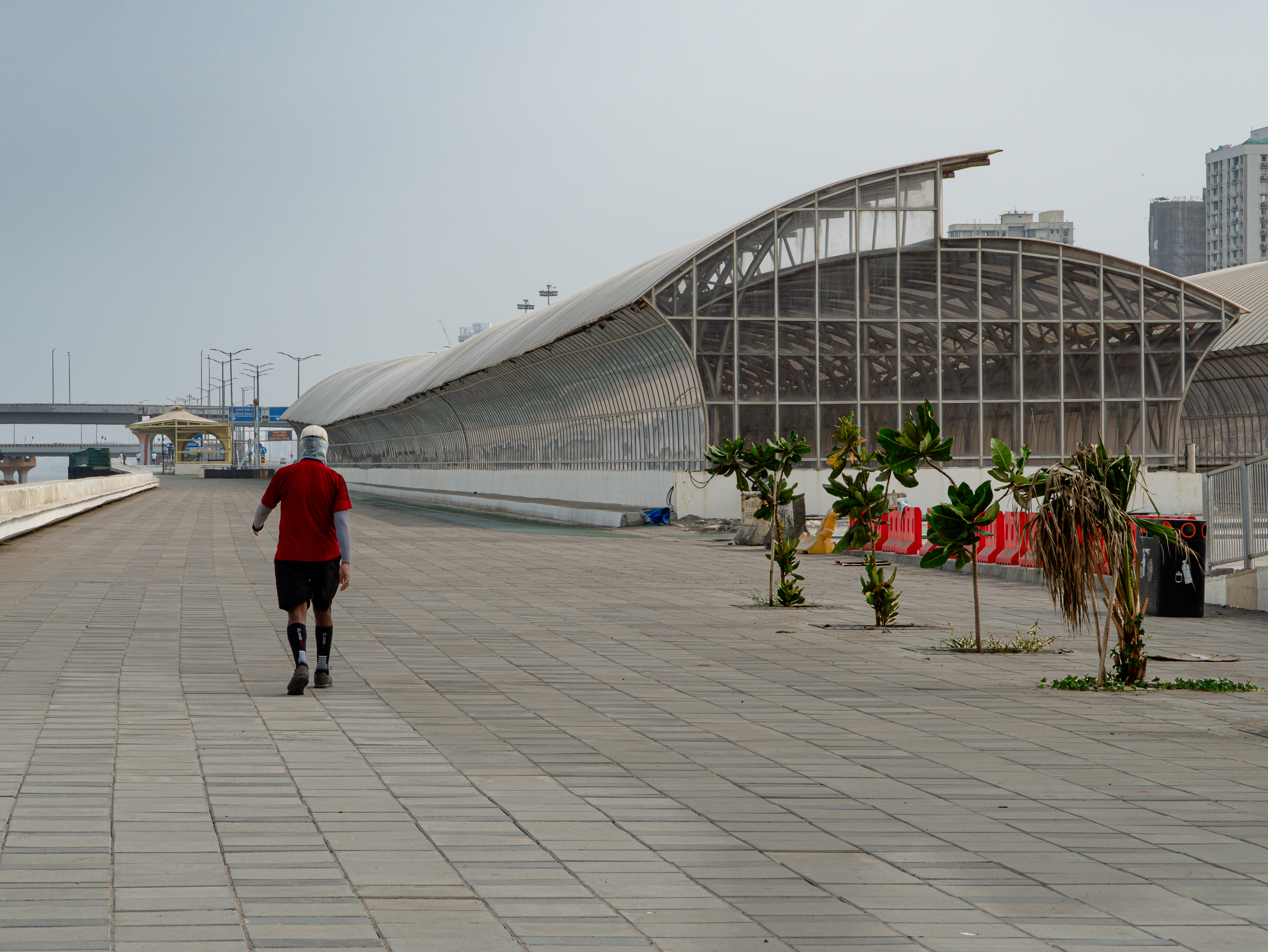
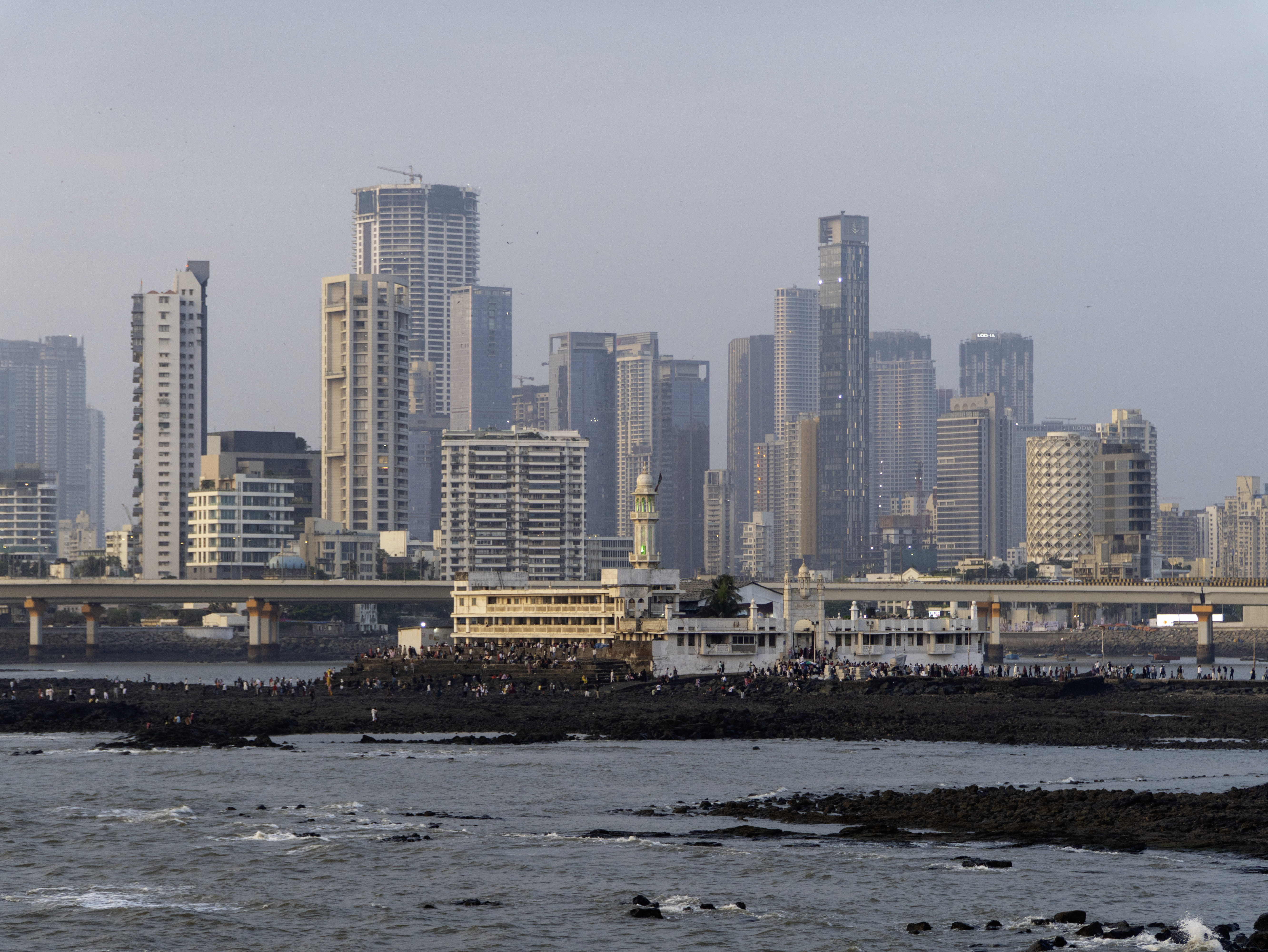
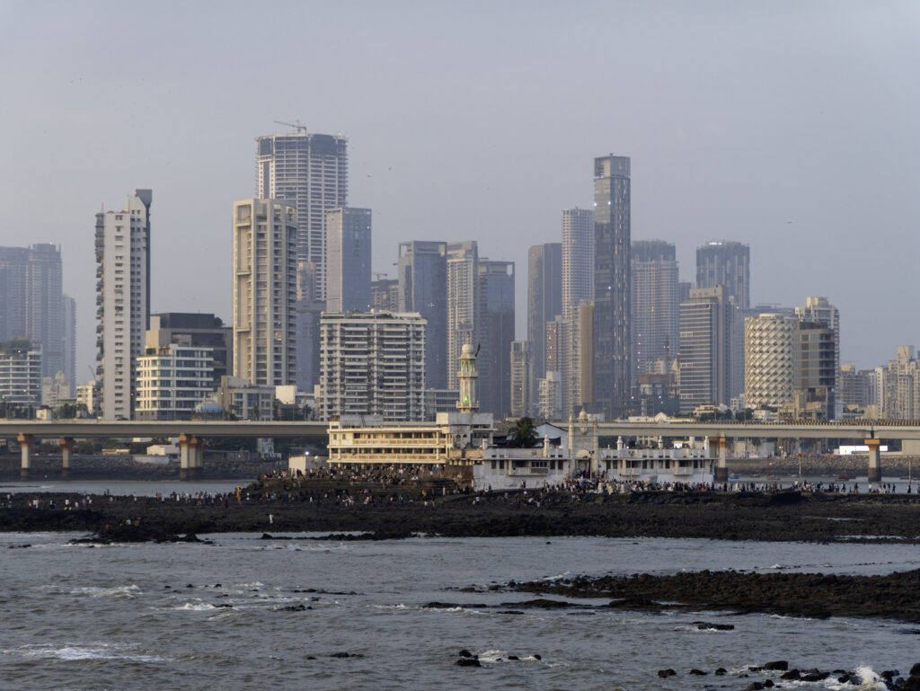
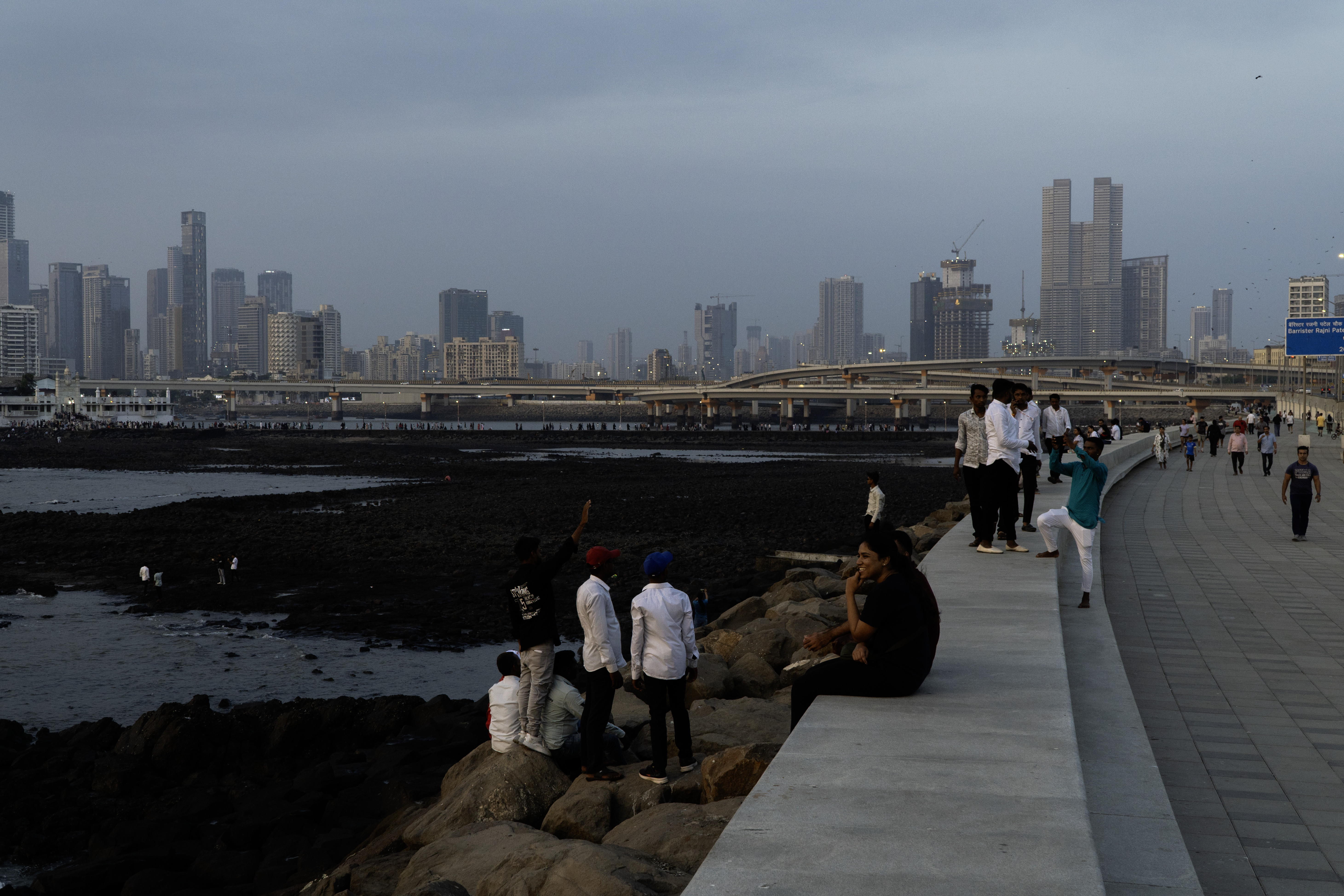
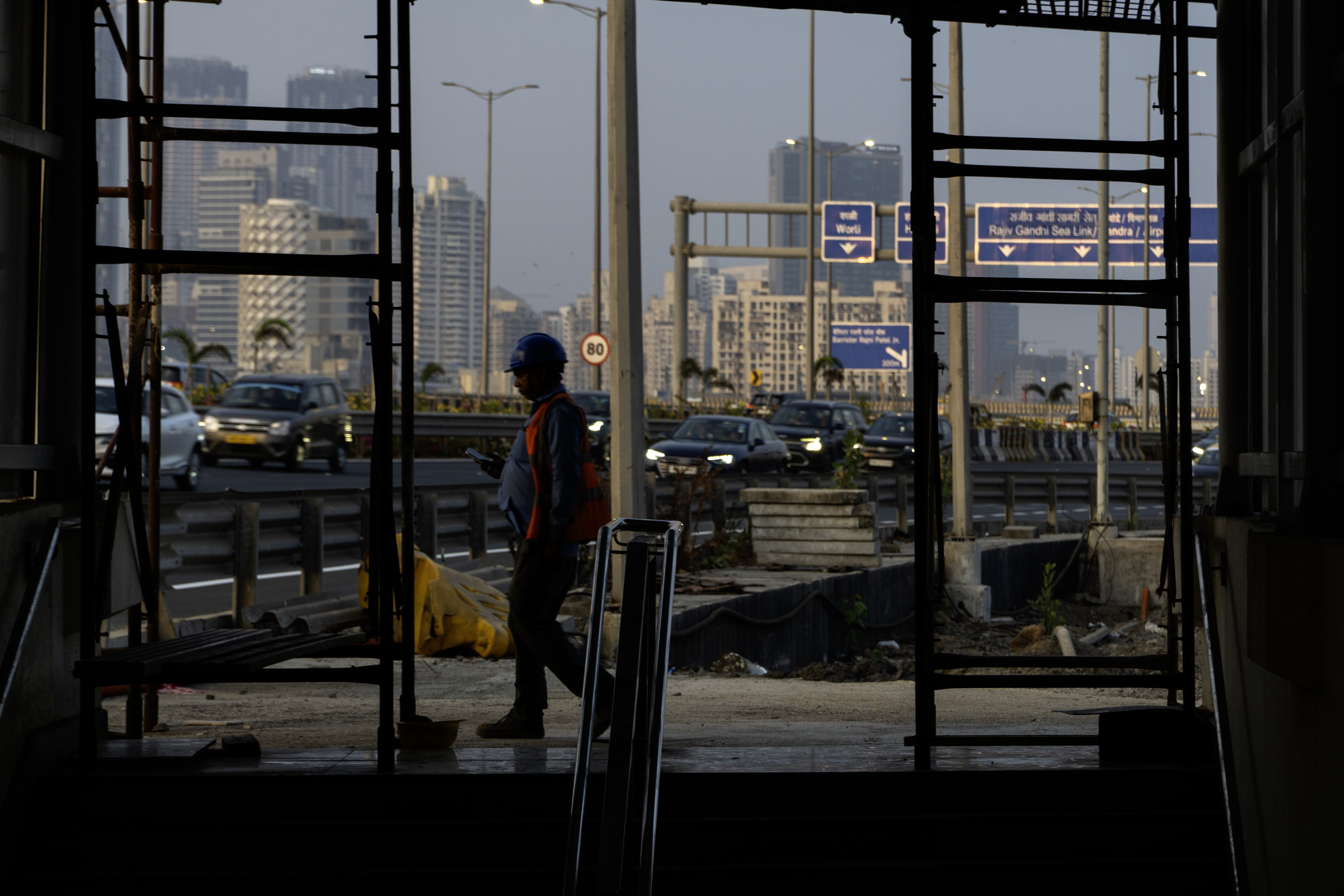
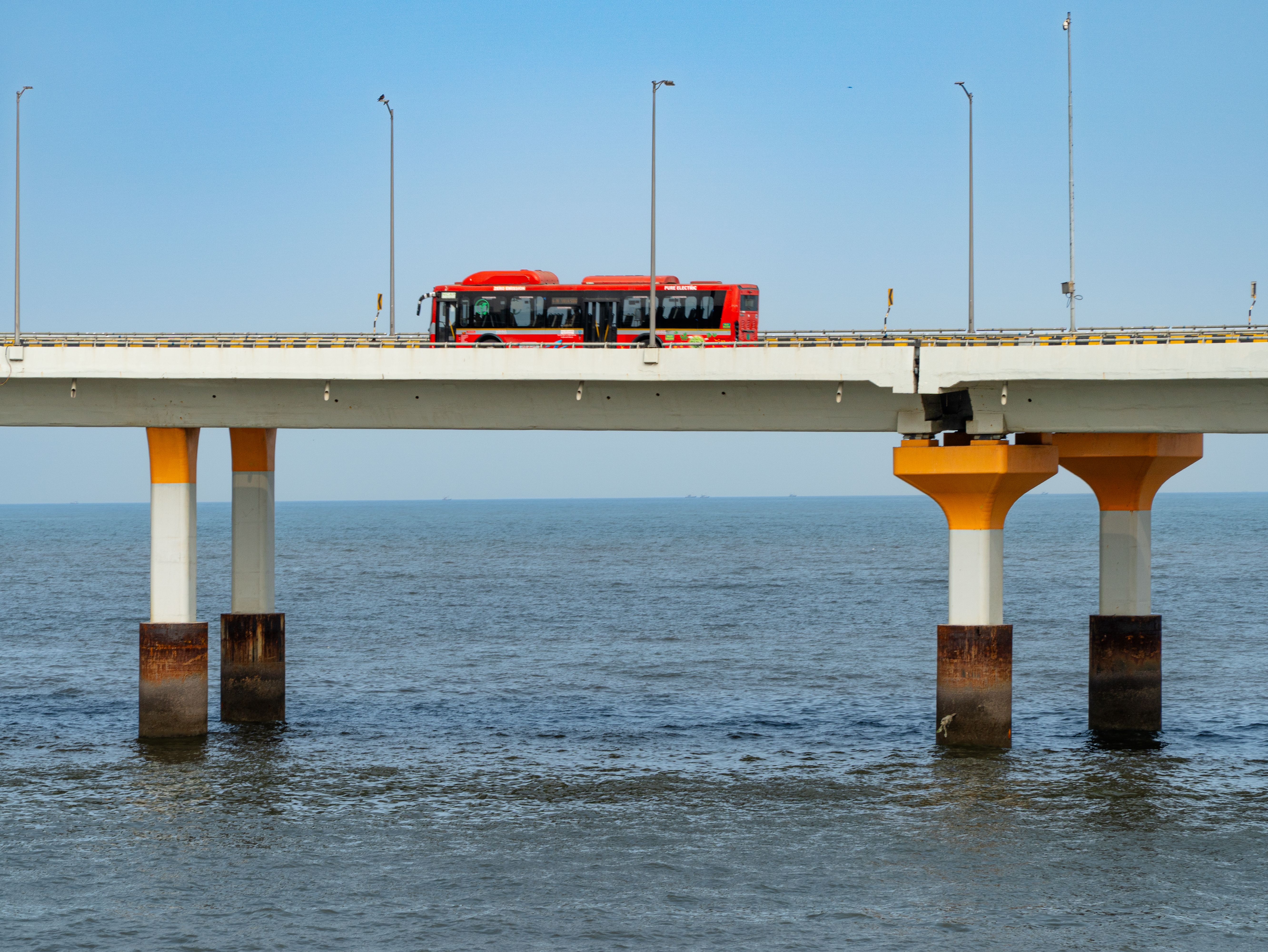
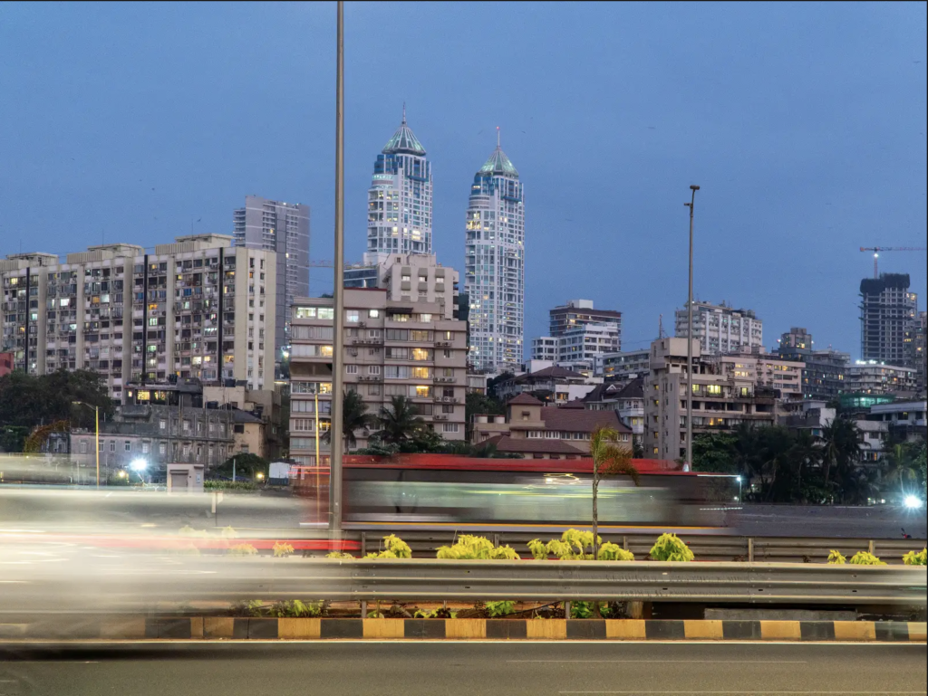
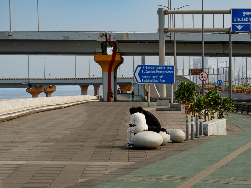
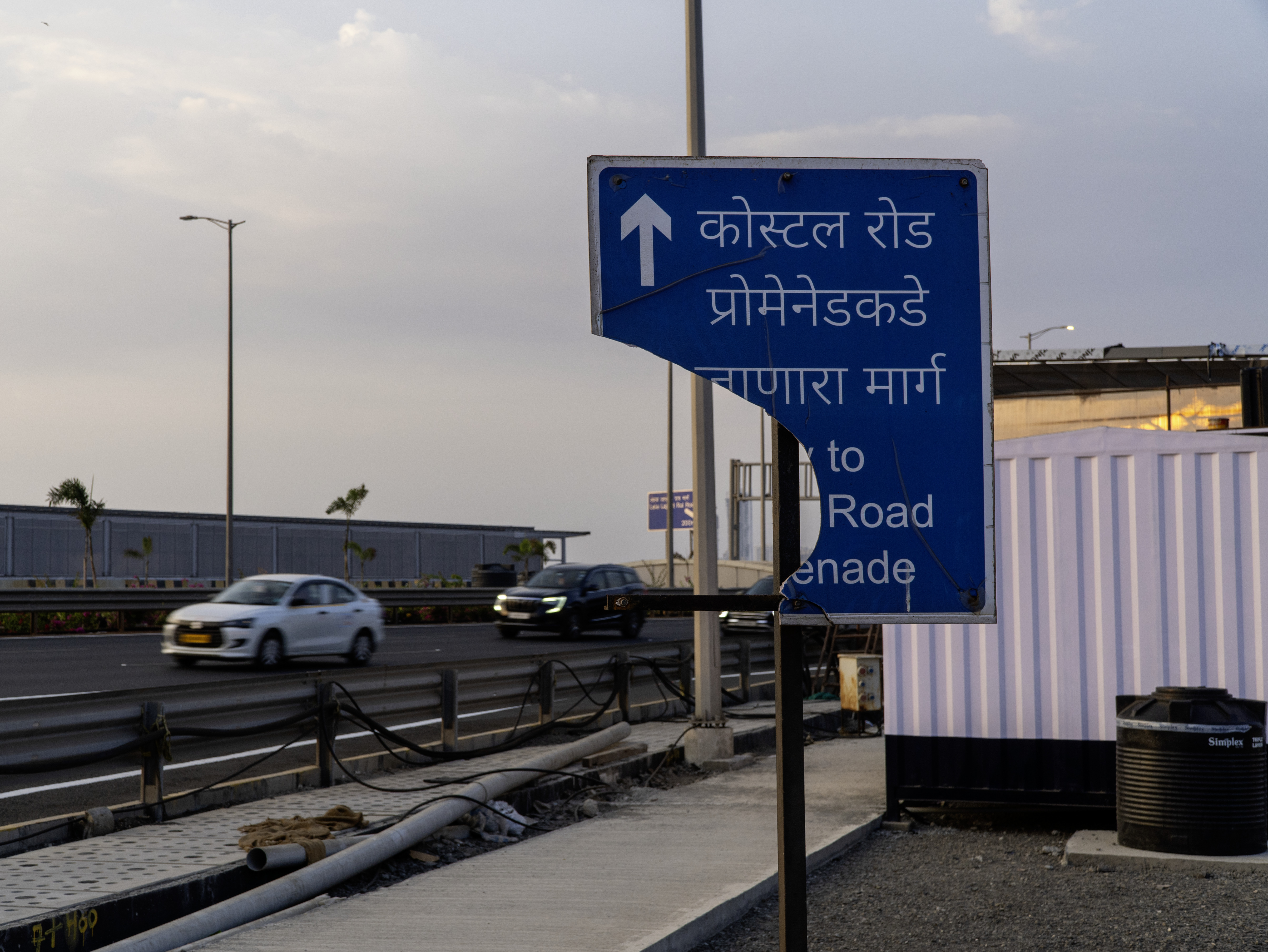
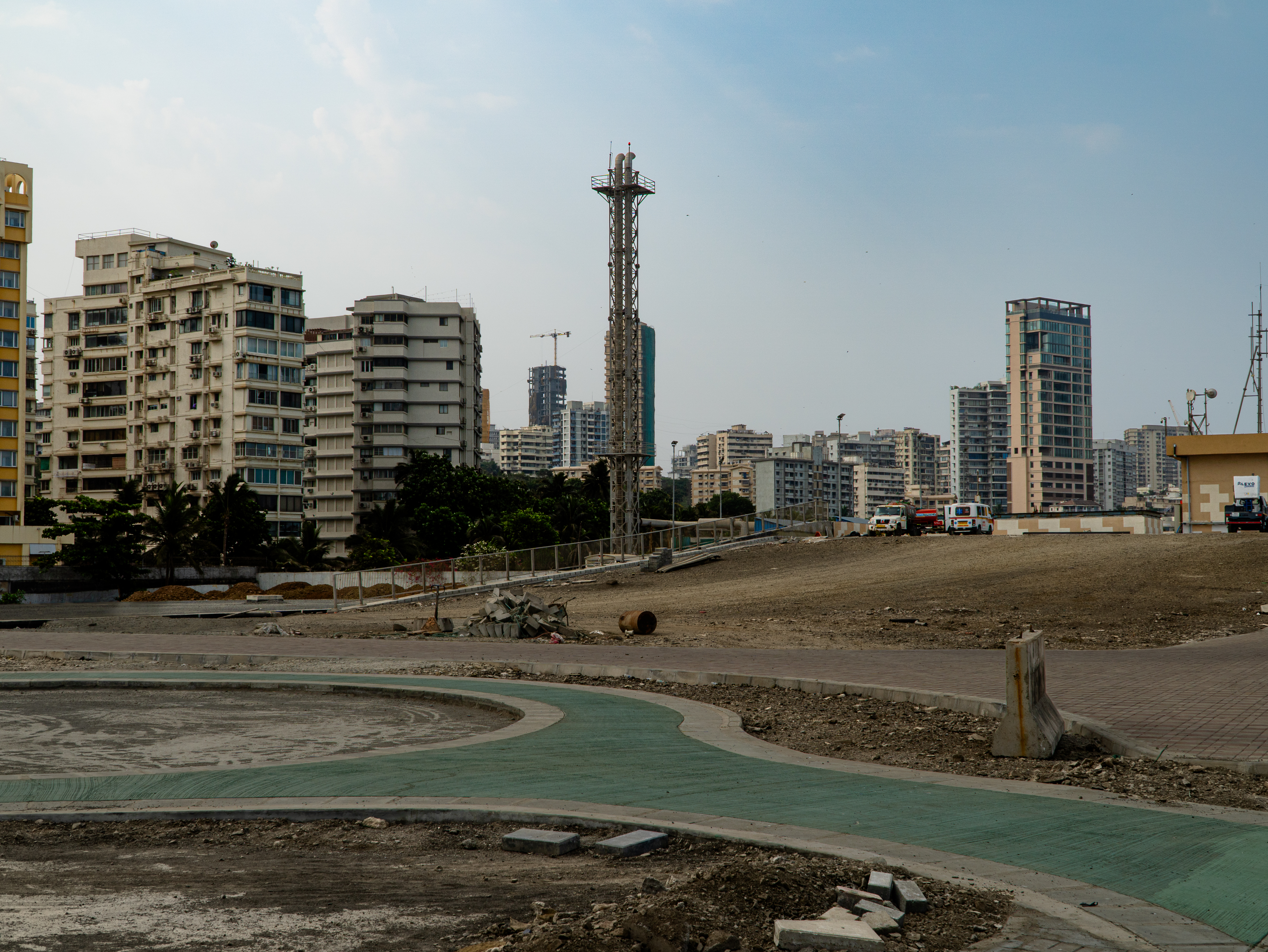
To accommodate this steady influx of people, Mumbai has long expanded into the sea. Once a cluster of seven islands under Portuguese and later British colonial rule, the city was gradually stitched together through piecemeal reclamation; by 1845, these islands had merged into a single landmass that now forms the southern part of the city. Today, Mumbai stretches 45 km from north to south, and the city’s latest and highly debated infrastructural intervention – the Coastal Road, the first phase of which was completed in early 2024 – is intended to cut commute times across this linear expanse.
Of course, the Coastal Road undertaking is not limited to providing traffic relief in a dense city. It is embedded within a larger vision of positioning Mumbai as a global economic leader by 2047, with a projected GDP of over a trillion dollars – alongside hubs such as Tokyo, London, and Singapore. “The region’s [Mumbai Metropolitan Region] economy is expected to grow nearly five-fold, driven by infrastructure expansion, job creation, and regional economic diversification,” said Shankar Deshpande, Chief Town and Country Planning Officer, MMRDA. Within this broader push, the Coastal Road is conceived as a high-speed growth spine for the “blue-green” city, linking it to nine satellite towns and more than 1,000 villages. Yet a gap persists between this lofty ambition and the realities experienced by citizens on the ground – particularly regarding access, cost, and ecological impact.
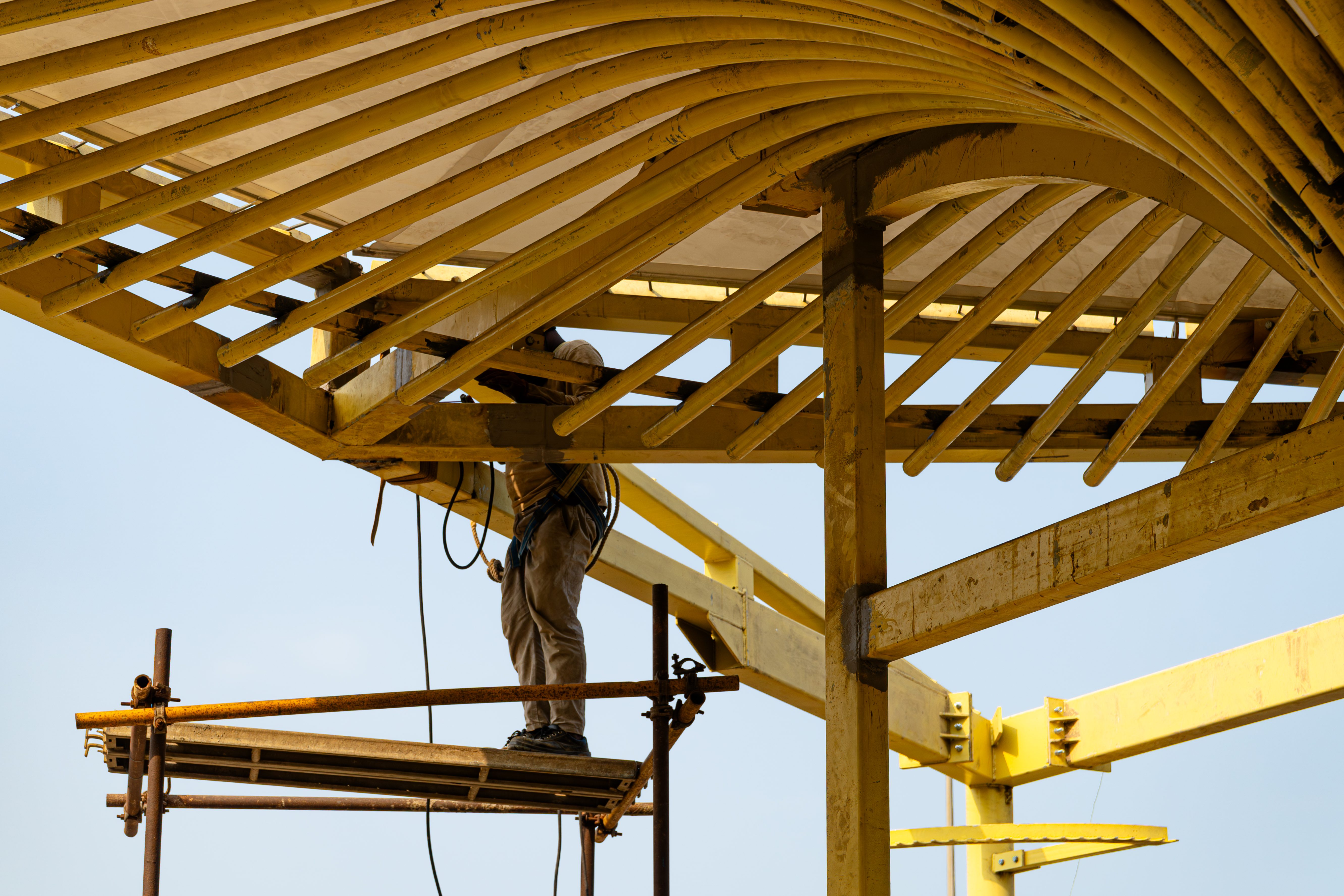
Over five years of construction of the 10.58 km Coastal Road stretch, along with 12 km of feeder roads, which began in October 2018, 111 hectares of land have been reclaimed from the sea to accommodate a network of tunnels, bridges, flyovers, elevated roads, interchanges, and extensive sea wall and breakwater constructions. The scale of this intervention is matched by its cost: the stretch linking the seafront promenade at Marine Drive to the Worli end of the Bandra-Worli Sea Link is estimated at over Rs.14,000 crore ($1.47 billion), a figure called into question by the Comptroller and Auditor General of India (CAG) during inspections in 2021 and 2025, which flagged unjustified design alterations and a 405 per cent surge from the originally assumed budget.
Alongside this, since 2012, the city’s municipal body, the Brihanmumbai Municipal Corporation (BMC), has raised approximately $4.2 billion by selling additional construction rights to private developers, known as fungible FSI (Floor Space Index), allowing them to build higher, but not exceeding 35 per cent for residential developments and 20 per cent for industrial and commercial over and above the total FSI, in exchange for indirectly contributing to the city’s infrastructure, and in the process tying private real estate interests to the financing of a major public project.
“The Coastal Road has been in the works for a long time – it was part of the BMC’s 1967 Development Plan known as the West Island Freeway,” says Jinay Dhanki, a real estate consultant and developer in Mumbai. “For the city to grow its housing stock and attract commercial investment, it needs the traffic relief that the Coastal Road has undoubtedly provided. FSIs have been increased in anticipation of the density the city will support in the near future. So naturally, this project – like any other transport system – has had an impact on the real estate market, with property prices appreciating. Nearly half the building stock along Worli seaface is now up for redevelopment, because it can afford to be and now has the supporting infrastructure.”

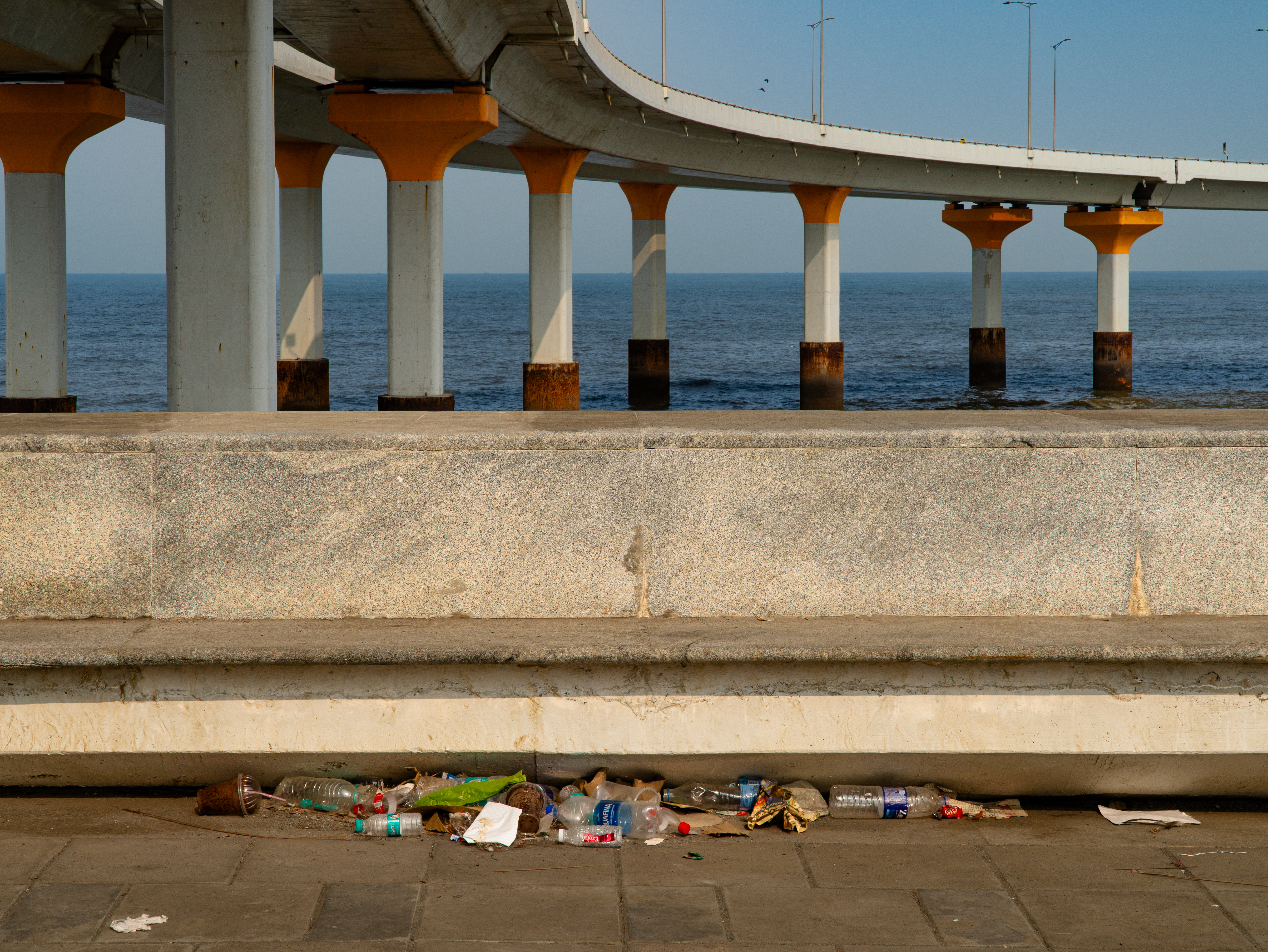
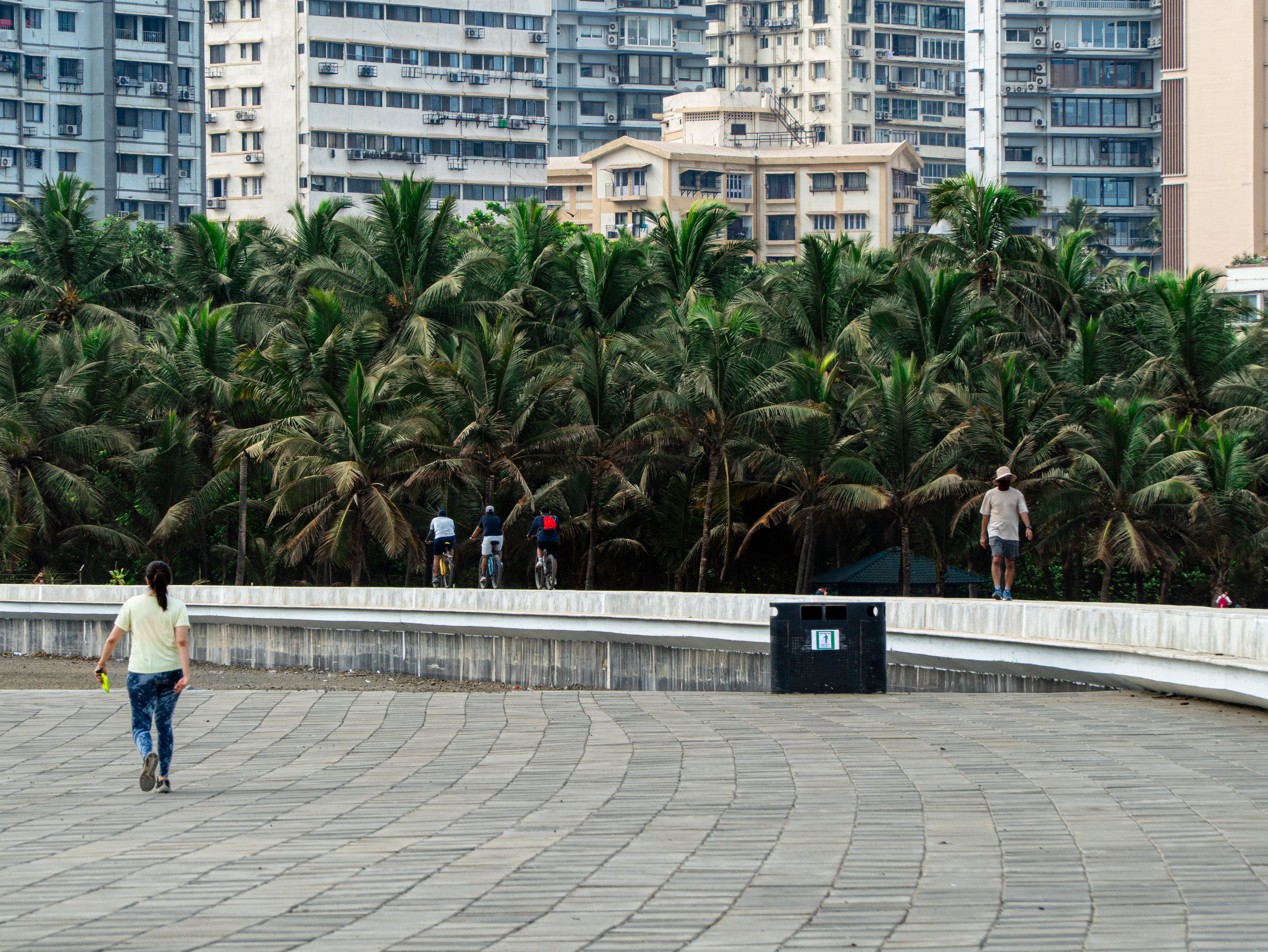
Architect Pranav Naik, on the other hand, argues that the Coastal Road serves only about 5 per cent of Mumbai’s population, those who own cars. Two-wheelers and auto rickshaws are not permitted on the new road. “They have spent an exorbitant amount of money to build a poor-quality road system for a very small percentage of the city’s population. Was there no cost-benefit analysis done?” asks Naik, who is also a member of the Bombay Architects Collective, which engaged with politicians, the BMC, and master planner AECOM to raise concerns largely from a planning perspective, including limited pedestrian access to new promenade stretches, blind turns, and inadequate green open space to offset the impact of large-scale concrete construction.
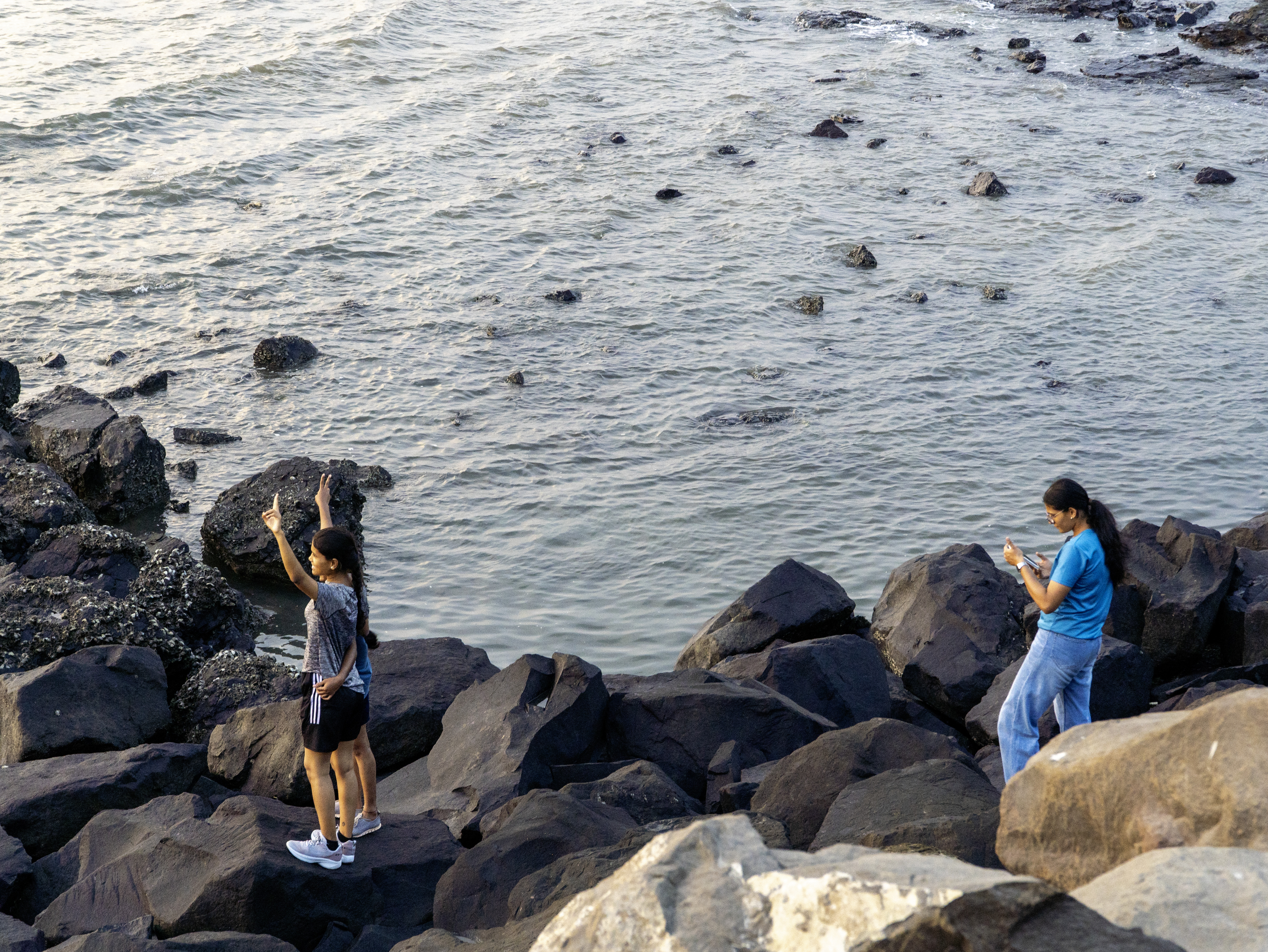
Beyond questions of access and equity, ecological insensitivity has been another major concern raised by numerous citizen groups. In 2019, the Bombay High Court halted the project for six months (during which, the BMC allegedly lost Rs. 5-10 crore / $0.5-1 million per day) after a group of Worli fisherfolk and biodiversity experts filed litigation. The court questioned the environmental clearance granted by the Coastal Regulation Zone Authority, citing irreversible damage to coral reefs, blocked direct access to the sea in several areas, and, as a consequence, the displacement of fishing communities dependent on it for their catch and livelihoods. These concerns are rooted in the gradual dilution of the CRZ framework itself.
The CRZ framework traces back to the Environmental Protection Act of 1986, regulating coastal activity within intertidal zones and a 500-metre landward stretch from the high-tide line. While originally intended to strictly limit construction along ecologically sensitive coasts, successive amendments have enabled projects such as the Coastal Road. In 2011, revised CRZ norms introduced “special consideration” for Mumbai, permitting redevelopment and infrastructure projects within already urbanised CRZ-II areas, including slum rehabilitation and redevelopment of dilapidated buildings, as well as roads on stilts designed to maintain tidal flow. In 2015, a key amendment – issued just months before the project received central government clearance – went further, allowing seabed reclamation for road construction, a decisive change that made the Coastal Road feasible.
The legal challenge, however, proved short-lived. The Supreme Court of India later overturned the Bombay High Court’s stay, allowing construction of the road to proceed. In 2022, it also cleared ancillary developments including recreational zones, parking facilities, and promenades, stating that “the effort to decongest the arterial roads of a congested metropolitan city cannot be interdicted.”
Most recently, the Supreme Court has cleared the BMC to cut more than 45,000 mangroves for Phase 2 of the project – the 26.3 km Versova-Bhayandar Coastal Road in north Mumbai. Rupesh Bhomia, an independent researcher and former senior scientist at the Centre for International Forestry Research and World Agroforestry, warns of the consequences: “In the case of any cyclone or storm surge, the network of roots and stems creates a barrier that reduces the energy of waves, protecting everything behind the mangroves, including landward areas, other trees, housing, or people.” Their removal, he adds, risks eroding this natural defence – the “bioshield function” – that protects the city’s edge. This loss is not only local: according to the World Wildlife Fund, mangroves store three to four times more carbon per acre than tropical forests, and their destruction contributes to roughly a tenth of global greenhouse gas emissions from deforestation.
The implications of this loss are already evident in Mumbai’s recent history. After the catastrophic floods of 2005, which caused 1,094 deaths and affected a third of the city’s total area, environmentalists pointed to the loss of approximately 40 per cent of Mumbai’s mangrove cover in the preceding decade due to rampant encroachment and unchecked construction, underscoring the role these ecosystems play as a natural buffer. In a city where more than half the population lives in informal or vulnerable housing, the risks are direct, with flooding posing an immediate threat.
Through all this, the BMC has stoutly defended the Coastal Road vision, backed by the Maharashtra state government’s political will. In 2025, it invited expressions of interest from the private sector to develop a 130-acre green open space, dubbed the Coastal Road Garden. Reportedly, the only qualifying bidder was Reliance Industries Ltd., helmed by the Ambani family. Bloomberg reports that Mumbai currently offers just 1.24 square metres of publicly accessible open space per person, and this initiative has a stated goal of increasing this to 2 square metres.
A citizens’ collective, the Mumbai Coastal Forest group (MCF), has emerged as one of the voices seeking to hold Reliance accountable. While the group has publicly welcomed the company’s involvement, it advocates for the site to be developed as an urban forest rather than a landscaped garden, arguing that this approach would deliver far greater ecological benefits. “The problems a forest can address for the city go far beyond what a garden can,” said one campaigner.
Mumbai presently has around 1,400 hectares of forest across 18 locations – biodiversity hotspots that account for 16.5 per cent of the city’s total area. This is well below the 33 per cent benchmark set under the National Forest Policy. In a city facing persistent air quality concerns (AQI 100+), limited access to open space, and strained river and estuary systems linked to flooding and drainage, such forested areas are increasingly seen as critical to urban livability, and by extension, to sustaining the city’s long-term economic appeal and ability to attract investment and migration.
Given this, developing 130 acres of green space in a land-scarce city like Mumbai demands greater rigour, not just as an amenity, but as critical ecological infrastructure capable of restoring balance. With projections suggesting that nearly 10 per cent of the city could be underwater by 2040, the risks are no longer distant. In this context, the question is not whether Mumbai will continue to expand infrastructure, but what kind of resilience that infrastructure actually produces.
A significant share of Mumbai’s resilience lies in how the city is inhabited: nearly 60 per cent of residents occupy just 8 per cent of its land, often in temporary, self-built structures that adapt to flooding, seasonal rains, and precarious tenure. As architect Rahul Mehrotra asks in The Kinetic City & Other Essays, can such temporary landscapes serve as critical transitional responses in an era of flux? His warning against exclusionary, gated urbanism resonates with concerns around the Coastal Road, which has erased many informal settlements along the coast. Yet Mumbai’s infrastructure is rarely static. It remains to be seen whether the Coastal Road can evolve beyond its current form, absorbing ecological value and informal economies, to become a more inclusive urban spine.