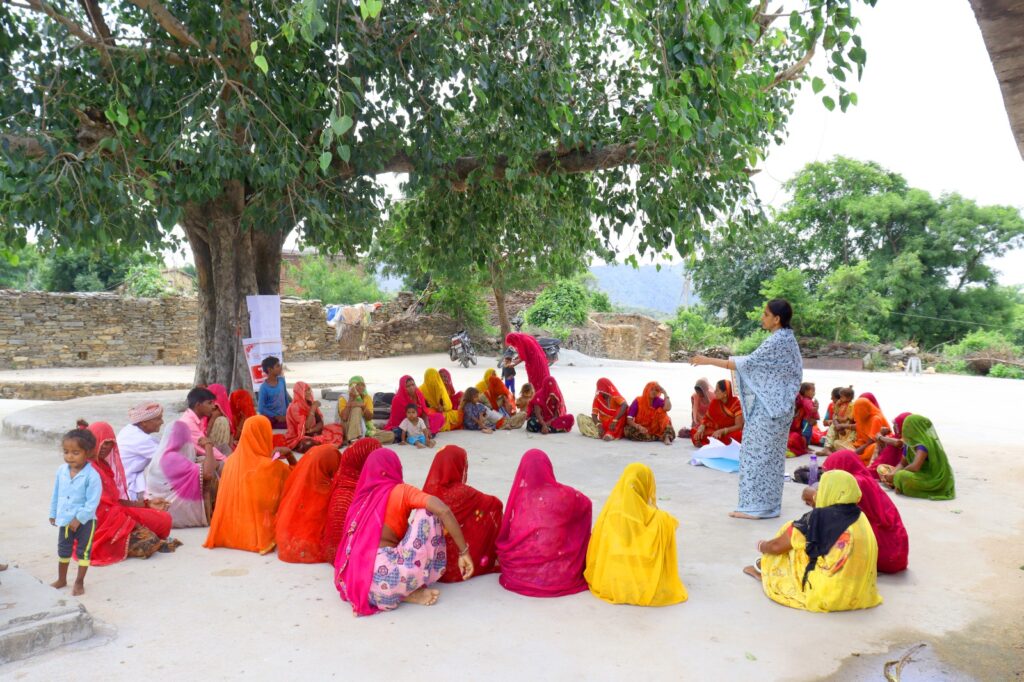
“When a sheep or calf goes missing in the hills, Krishna feels too distant in the divine order to be called upon for help; instead, I turn to Bhairo ji, who watches over this land,” explained a herder in southern Rajasthan. In that fleeting exchange lies an entire geography of faith, ecology, and survival in the Aravalli mountain range, a landscape now increasingly under pressure from extractive development and the legal-bureaucratic systems that enable it.
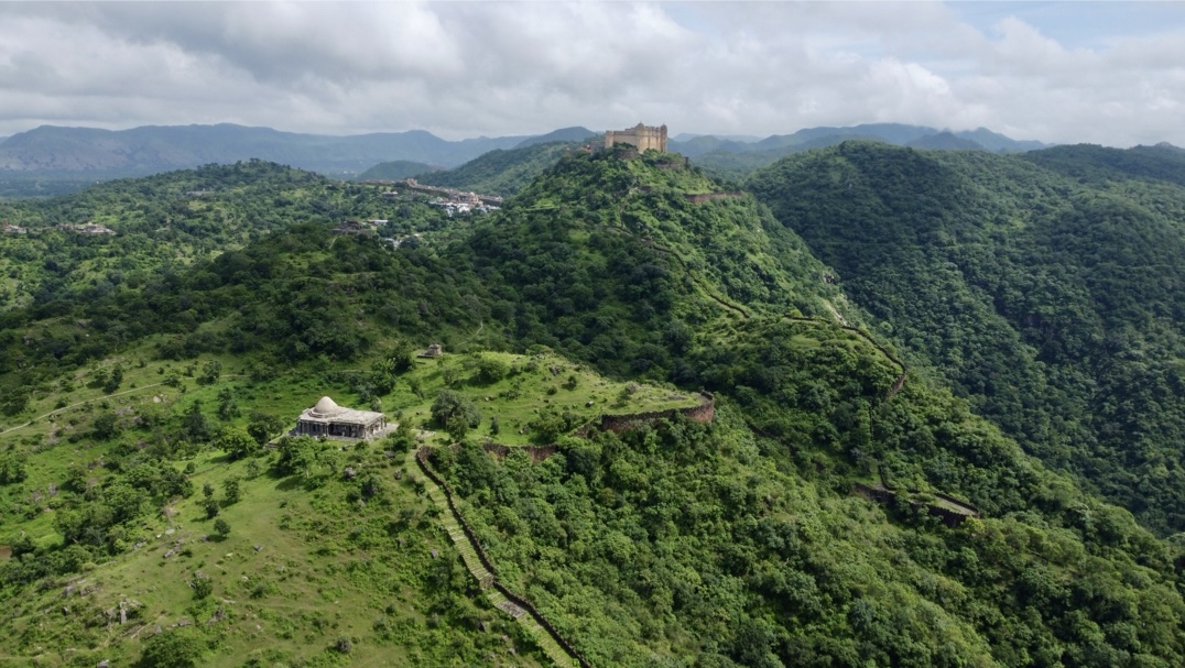
Stretching over 650 kilometres from Delhi to Gujarat, the Aravallis are among the world’s oldest fold mountain systems. Though now only a fraction of what they once were, they remain an ecological lifeline across the north-western subcontinent, supporting dry deciduous forests, local agrarian economies and wildlife movement. This article focuses on the southern Rajasthan stretch of the range, where devras continue to anchor pastoral memory, ecological stewardship, and sacred relations to land, even as the landscape is being steadily reshaped by mining, tourism, and rising real-estate pressures.
CARTOGRAPHY AND CONTROL
In the Aravalli region, cartographic classification has long enabled extraction by translating ecologically and socially complex terrains into administrative categories: forest, wasteland, mineral zone, protected area. Today, that same logic is unfolding through a more precise act: definition. In November 2025, the Supreme Court accepted a “deemed definition” that treated only peaks or parts of hills rising 100 metres above local ground level as Aravalli hills, effectively redrawing the range in legal terms. The Supreme Court has since stayed the determination of topographical boundaries. The definitional threat, however, remains: any hill, ridge, or slope falling below this threshold risks slipping out of regulatory protection and into a zone of administrative illegibility, where it can be more easily mined, built on, transferred, or repurposed through categories such as wasteland (bilanam zameen).
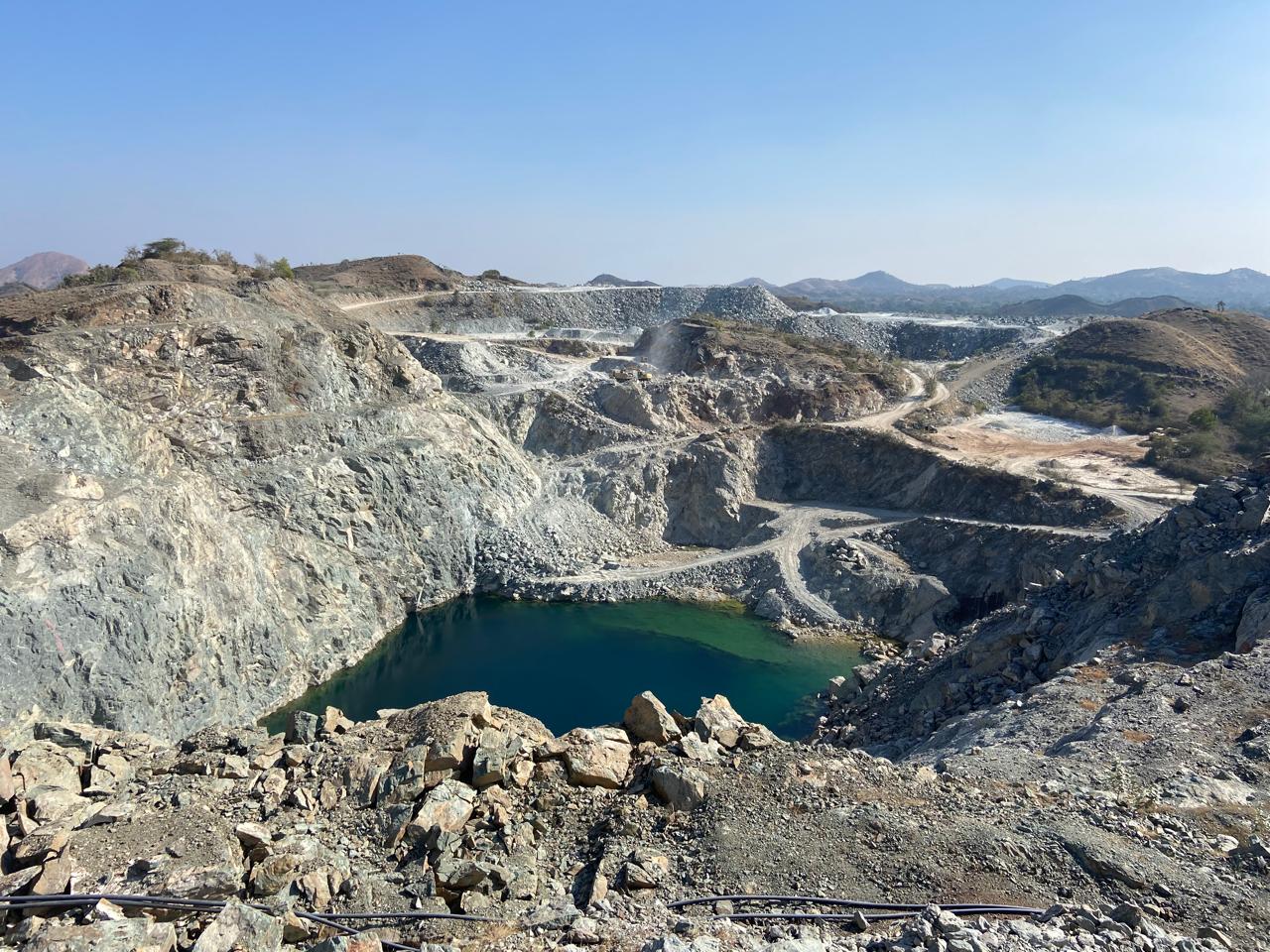
Though framed as technical, such thresholds function like cadastral lines, determining what is protected and what can be made available for extraction. Under British rule, the measurement and classification of land became central to governance, especially in forests, frontiers, and hill regions that colonial officials often regarded as unruly or “illegible.” One expression of this was the Survey of India’s creation of the post of “Superintendent of Frontier Surveys,” which helped institutionalise a unified conception of the British Indian frontier, stretching from the desert borderlands in the west to the forested highlands of Upper Burma in the east. Mapping, in this context, did more than record terrain. It rendered land legible to administration and open to intervention.
What is striking in the present, however, is that power now also operates through the selective production of illegibility: by narrowing definitions and excluding certain hills, slopes, and commons from protection, the state creates conditions under which land may be more readily redirected to other uses while remaining formally within the law. The struggle over how the Aravallis are defined today belongs to that longer history, one in which the authority to classify terrain has repeatedly shaped the terms of its governance, extraction, and transformation.
DEVRAS, SACRED GEOGRAPHIES, AND OTHER WAYS OF READING LAND
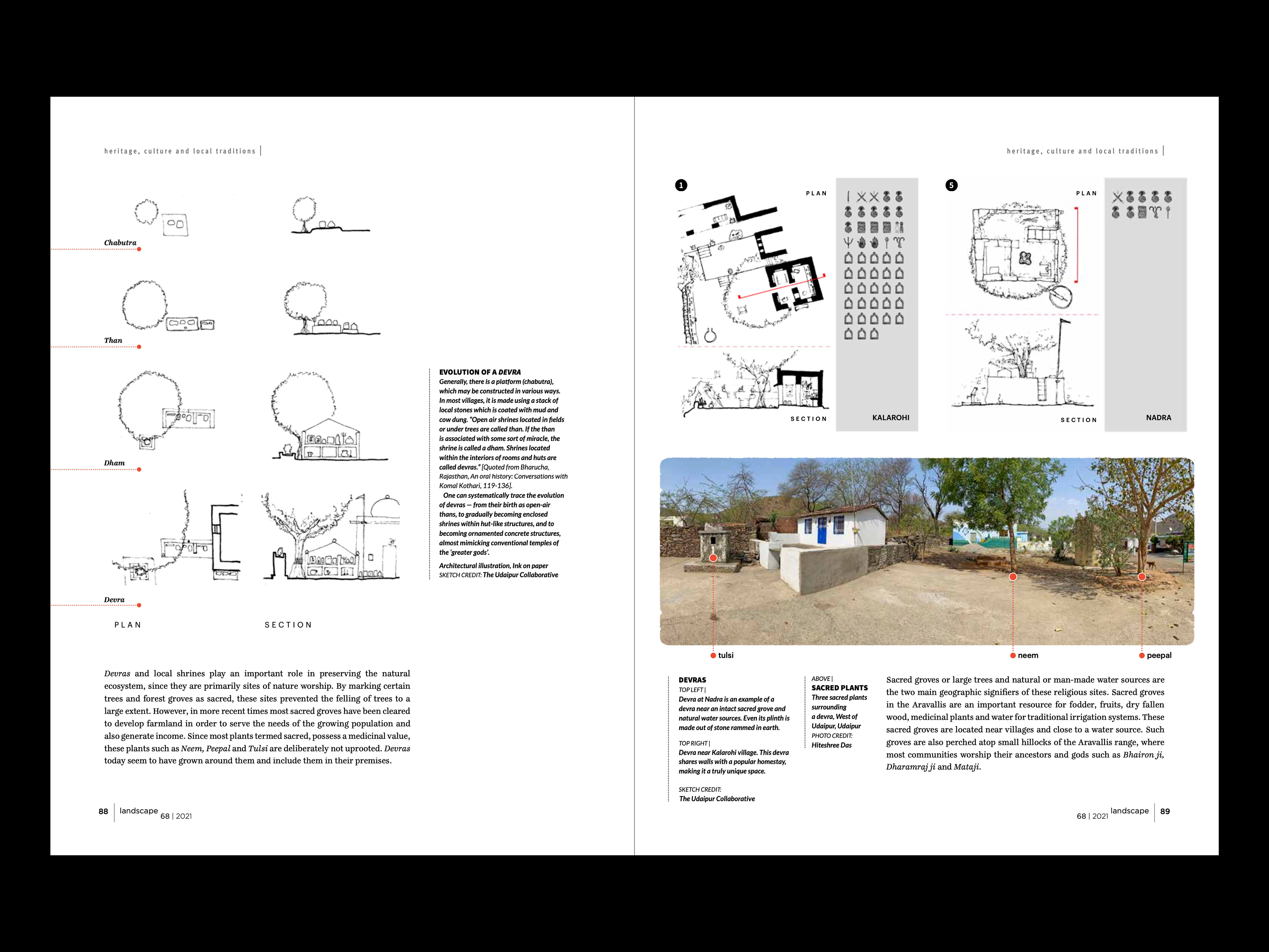
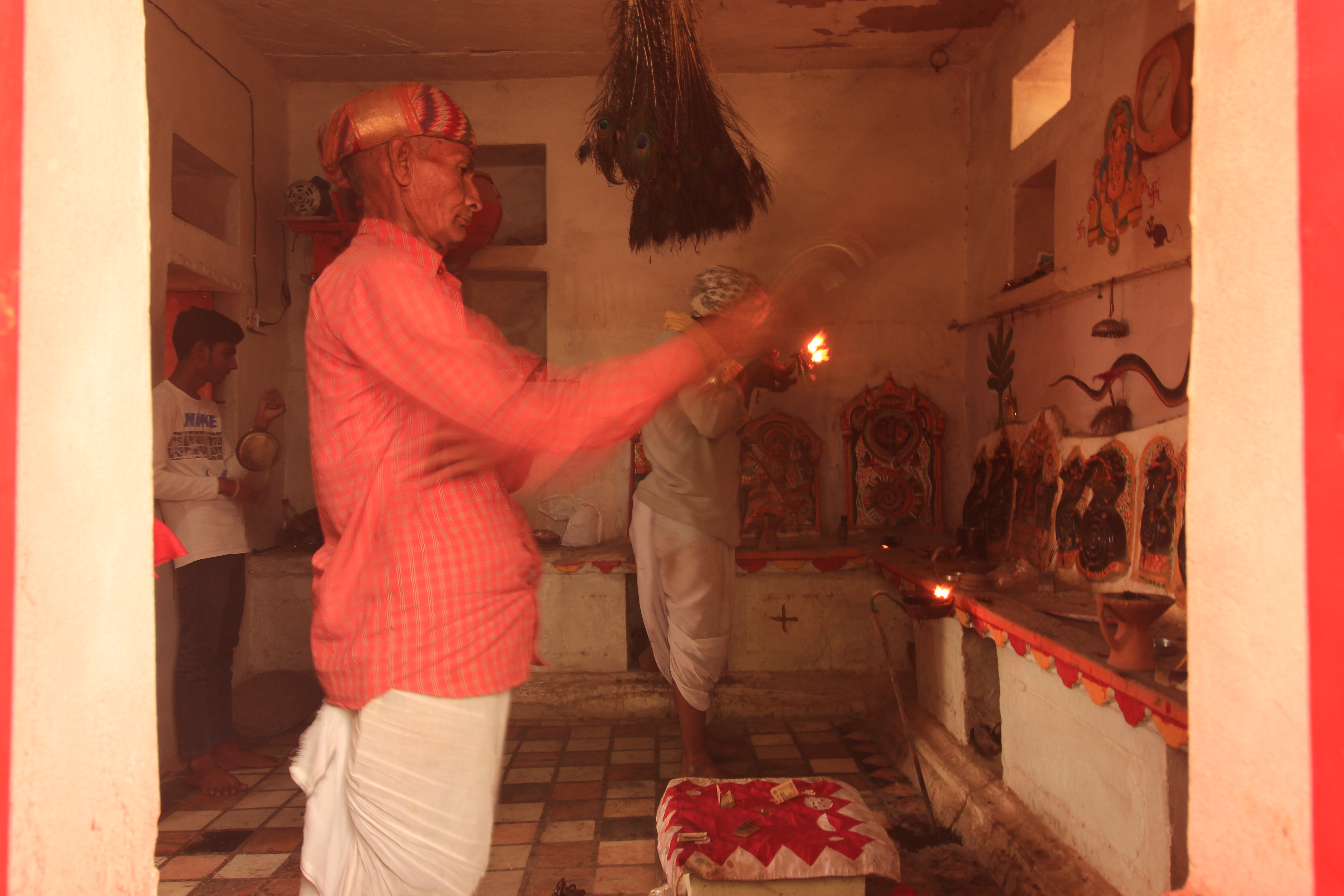
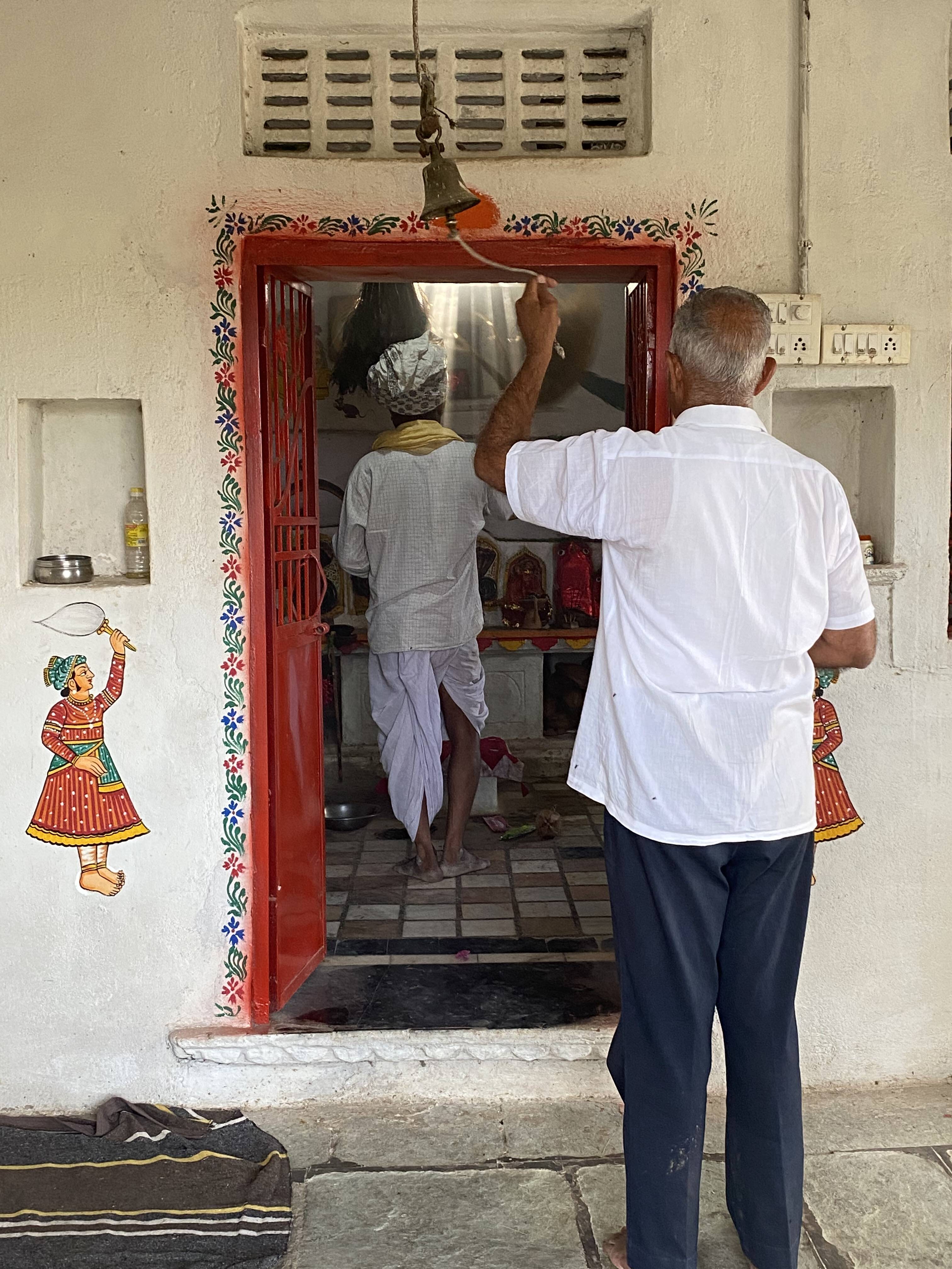
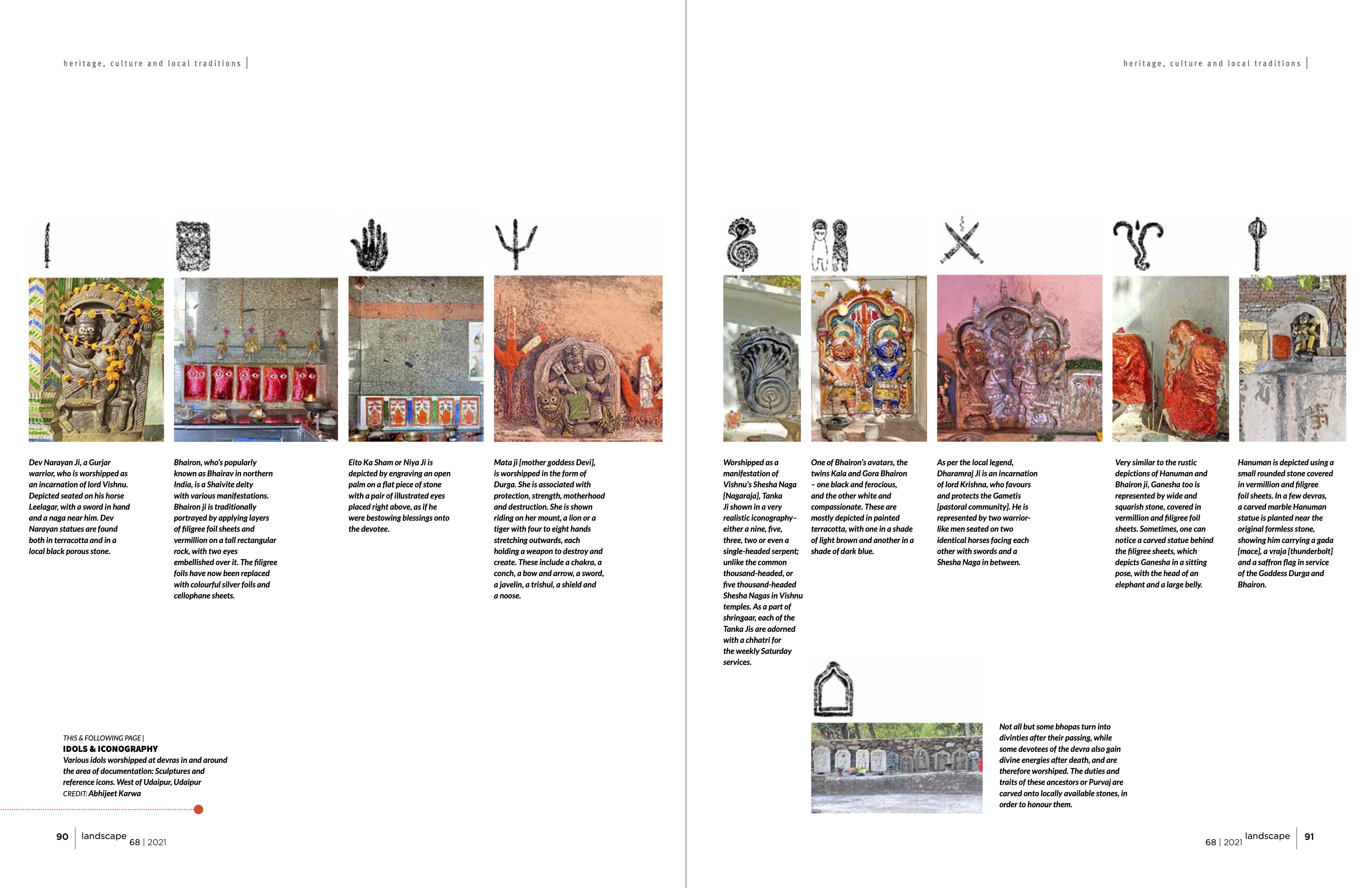
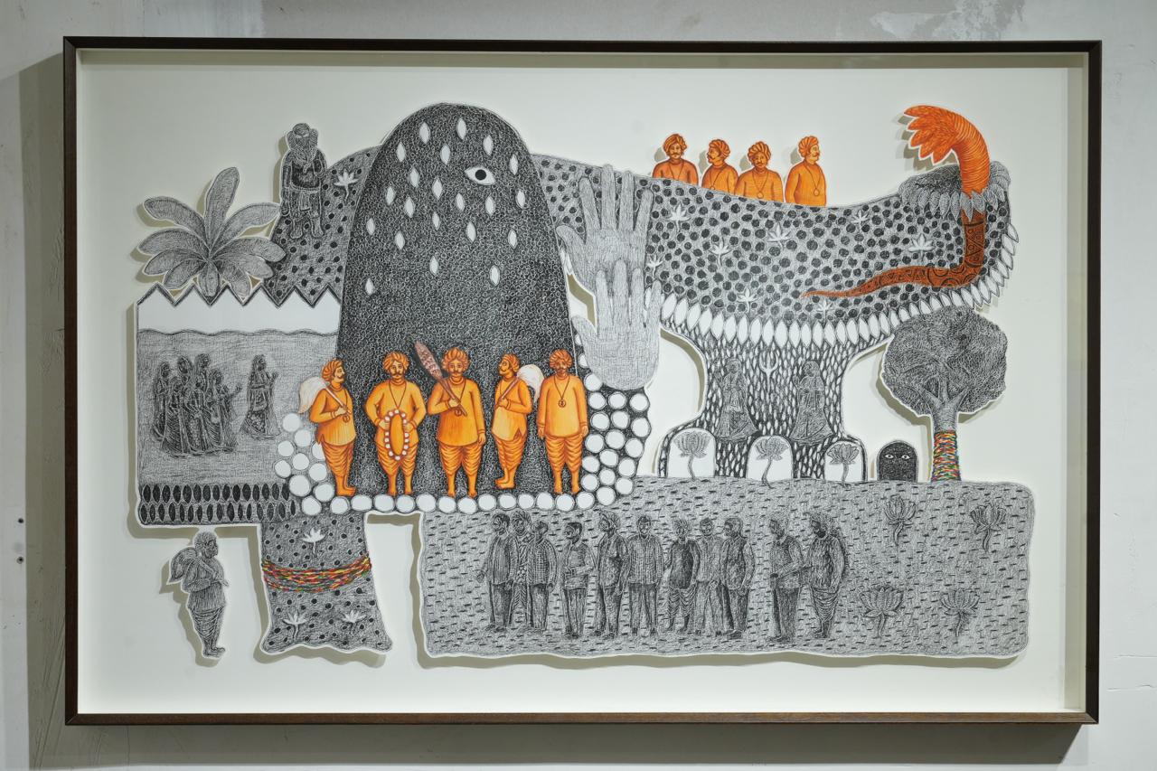
Yet the Aravallis have never been known only through maps, contour lines, or legal definitions. For formerly-pastoral and agrarian communities living in and around these hills, the landscape has also long been read through shrines, groves, water, memory, and fear. In southern Rajasthan, devras, small shrines to local deities and protective beings, often appear as modest presences: a stone platform beneath a neem tree, a cluster of idols beside a water source, a shrine at the edge of a grove or grazing path. But these are not marginal places. They are among the coordinates through which land becomes knowable and liveable.
A hill is not simply a hill if Bhairon ji resides upon it. A grove is not merely tree cover if it belongs to a deity who punishes those who cut it. In this sense, devras mark a different kind of geography, one in which ecological features are also sacred presences and moral boundaries. They have often functioned as quiet institutions of ecological restraint, protecting trees, water, and common land not through formal regulation, but through reverence, taboo, and inherited obligation.
THE COMMONS AFTER INDEPENDENCE
The question, then, is not simply whether state-led and Indigenous understandings of land are in conflict, but how the former has steadily reorganised the conditions in which not only the latter, but all forms of life tied to the land, must now survive. Ajay Mehta, former President of Seva Mandir, cautions against romanticising an earlier sacred order or treating the present as a clean clash between traditions and modernity. The deeper problem, in his view, runs further back: to what he describes as “the new political economy of the modern state, a superstructure that inherits the colonial logic of assigning value through classification alone, deciding from above how people should relate to land, to resources, and to each other.”
In practice, that superstructure produced a particular kind of generosity. In the name of helping the poor, forest lands, pasture lands, and other commons were often allowed to be encroached upon, but without building any durable system of collective self-governance around them. What emerged instead was a culture of patronage, dependence, and fragmentation. Communities gained access to land in piecemeal ways, but not the institutional strength to govern it together.
It is also a story of how democracy, without swaraj, the Gandhian concept of self-rule, has left the commons exposed.
RESTORING THE COMMONS
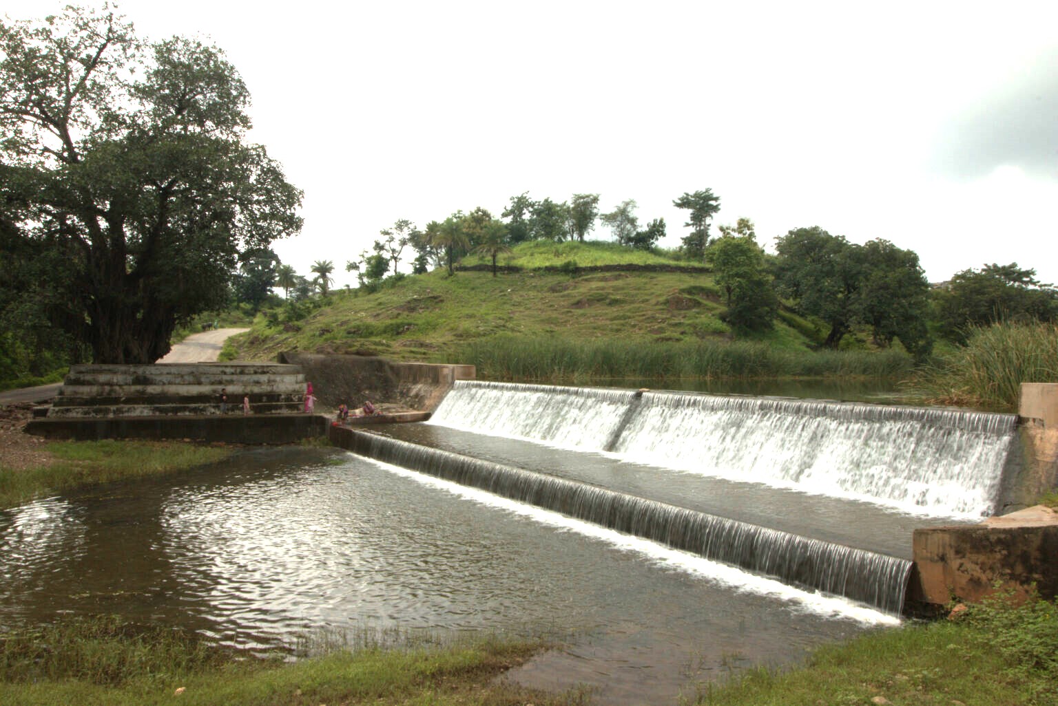
If the state helped weaken the commons, Seva Mandir’s work in southern Rajasthan offers a very different lesson: common land does not revive on sentiment alone. It has to be rebuilt socially, institutionally, and over time. As Shailendra Tiwari, former General Secretary of Seva Mandir described, one of the organisation’s central challenges was persuading communities to remove encroachments from village pastures, forest edges, and water-linked common property. That process was rarely simple. It required years of institution-building, negotiation, village leadership, pressure from caste panchayats and local authorities, and in some cases compensation.
Once land was cleared, Seva Mandir helped establish three-year restoration cycles involving protection, afforestation, soil and water conservation, and long-term upkeep through institutions such as the Gram Vikas Committee and village development funds. Over the years, this work contributed to the restoration of around 400 village pastures and 35 village forest areas across nearly 15,000 hectares of common land.
What matters here is not only the scale, but the method. Commons were treated as shared resources whose recovery depended on rebuilding local responsibility, deliberation, and collective resolve, rather than as abandoned land awaiting technical reclamation or enclosure.
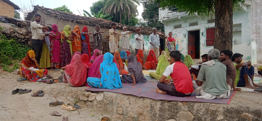
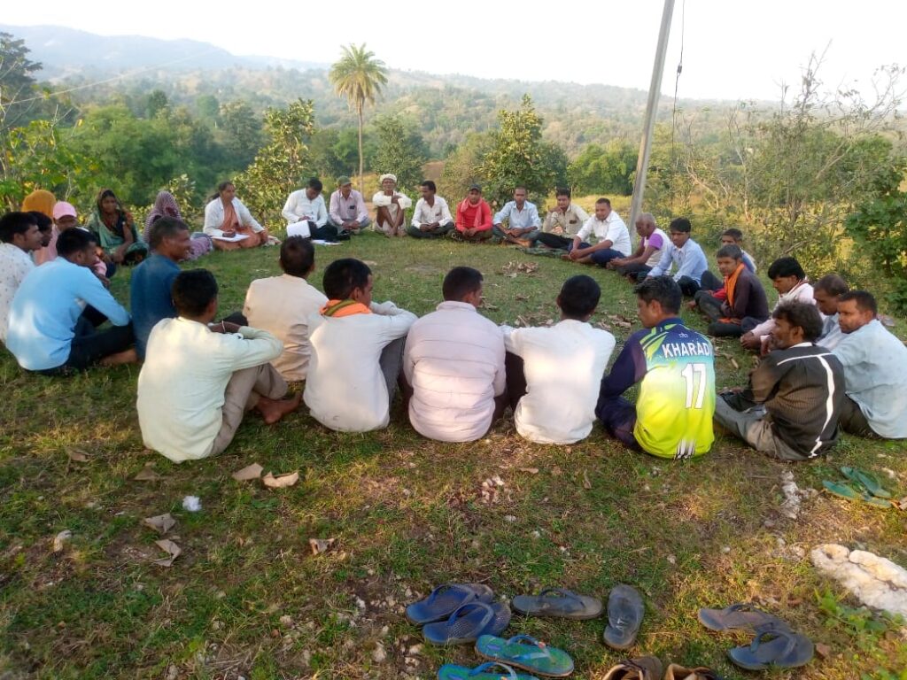
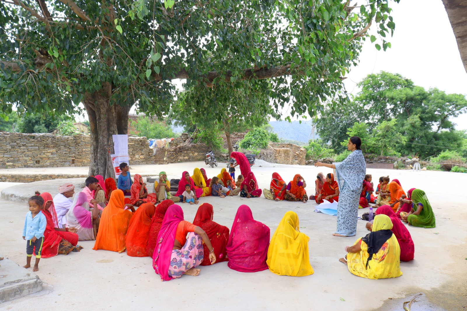
A companion to this reporting is Amrita Nandy’s book, Being Earth: Portraits of Militant Non-Violence, which traces the lives of villagers who worked with Seva Mandir to restore the commons. One of them is Dheera Ram Kapaya of Kada village, born, as Nandy writes, “to poor parents and rich forests.” He spent years rallying villagers to protect teak forests from theft, facilitating water access during drought, and eventually turned to devotional street theatre (gavri), writing and performing plays on forests, land, and conservation. “I wanted to win over people’s hearts,” he said, “to change their behavior.”
Not all of this work was confrontational. Another is Bhurki Bai of Alsigarh village, never schooled, married at fifteen, the sole breadwinner of her family by the time she was twenty. She spent years walking door to door across rugged valleys to organise women’s self-help groups, eventually mobilising them to repair a broken anicut themselves, bringing water to farms that had gone dry for decades.
A third is Dhula Ram Kharadi of Jhabla, who at seventy-five still attends every meeting he is invited to. He once left home at three in the morning to walk twelve kilometres to the Collector’s office in Udaipur, carrying a list of demands for his village. He built the first road into Jhabla through shramdaan (voluntary collective labour), and spent years persuading his own neighbours, who feared losing their land, to recognise the forest as their shared heritage before approaching the state forest department to forward their demands on their own terms.
Suraj Jacob, a political economist working on development policy and social institutions in India, offers two terms that help name what this work involved: nirmaan, the slow building of community, conscience, and institutions from within, and sangharsh, the pressure, confrontation, and collective assertion needed to contest the forces that had eroded the commons in the first place. Both were present in Seva Mandir’s approach, often at the same time.
Yet the state was never only an obstacle. Jacob shows how bureaucratic friction could itself become the occasion for organizing, Dhula Ram’s years of walking to government offices, Bhurki Bai’s repeated trips to the Irrigation Department, each instance a community learning, incrementally, how to hold together.
The restoration of common land, then, extended beyond ecological repair. It required communities to see land differently – as something collectively held, governed, and sustained, rather than as state residue awaiting redistribution or enclosure.
THE MORAL GEOGRAPHY OF THE COMMONS
For Ajay Mehta, the harder question is: Why did people agree to restore the commons at all, even when it meant giving up highly valued land? He acknowledged that economists would say there were incentives, and they wouldn’t be wrong. Trust mattered too, and in southern Rajasthan, Seva Mandir had worked in these communities long enough to become part of the fabric of village life.
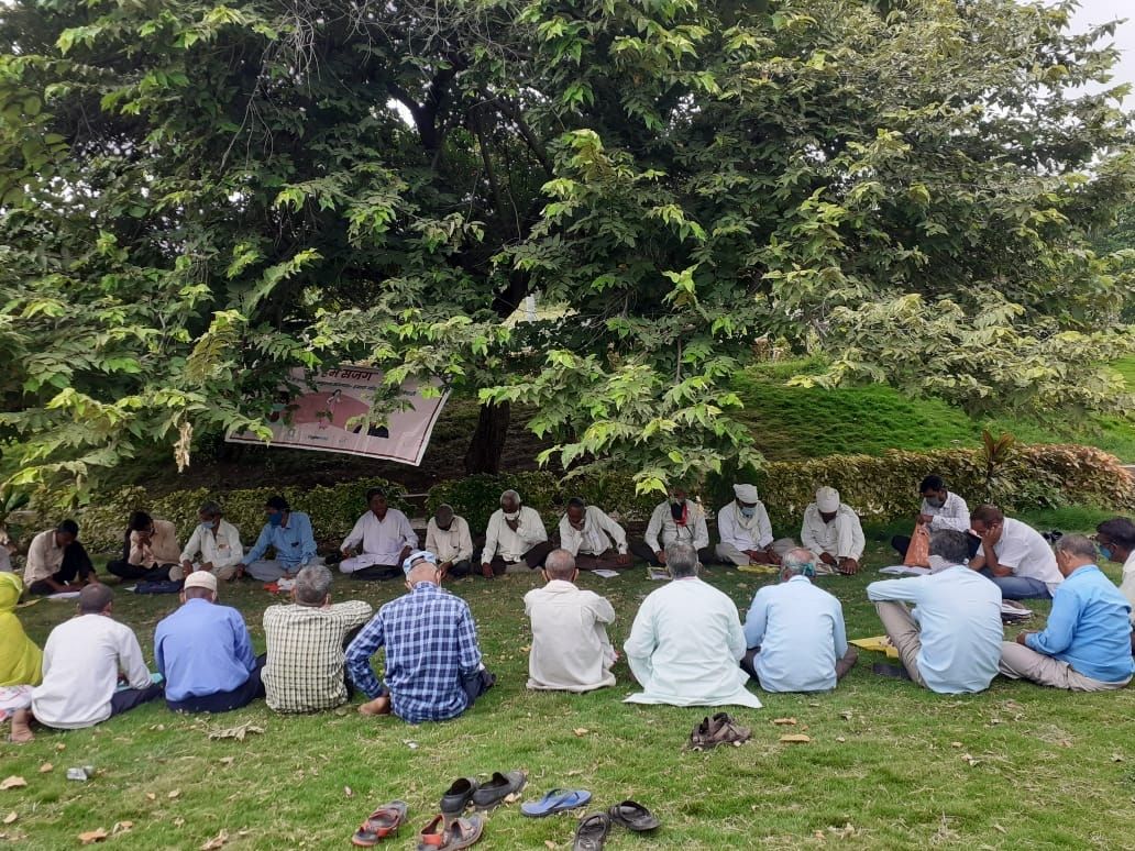
But neither incentives nor trust tell the whole story. Tiwari points to a different kind of force altogether. “In a normal village pasture, the chances of encroachment will be very high because the land carries no divine significance,” he explained. Sacred groves and devras operated differently: places like Ek Paniya Bhavji and Jalpaka, he noted, remained well forested precisely because “people follow those norms strictly.” Seva Mandir worked with this sensibility directly. Through a practice called kesar chhidkaav, saffron brought from Rishabhdev was sprinkled along the boundary of common land, marking it as sacred. The logic was explicit: “if anybody tries to encroach upon or cut trees, the deity’s curse may come to that family.” The fear of divine consequence, Tiwari suggested, did what formal regulation often could not.
Mehta goes further, venturing into what he himself finds difficult to name. “I don’t understand this well enough, but underlying their consciousness, their identity, is the notion that some of these things are sacred: birds, animals, ecology.” The rest may lie in what he calls “an un-alienated self; that is, they are still connected to earth.” Mehta is searching, in his careful way, for something the people he is describing already inhabit. Bhurki Bai needed no such qualification. “We humans are insects of mother earth,” she said. “We humans depart, only she stays back.” People relinquished encroachments not only out of practicality, but because some landscapes still carried obligation. Faith, here, functions as a kind of cartography, locating responsibility, restraint, and relation in the land itself.
This alternative mode of restoration also reveals what technocratic regimes cannot see. Categories like bilanam zameen or “wasteland” encode land as economically unproductive to the state, even when it remains socially and ecologically vital. Today, the same logic persists in the name of green development, as so-called wastelands in desert regions are increasingly repurposed for solar parks and other infrastructure projects. What this discounts are the micro-ecologies these landscapes hold: pastures, cactus systems, deep-rooted trees, and other forms of life that rarely register in cadastral records, legal classifications, or development plans.