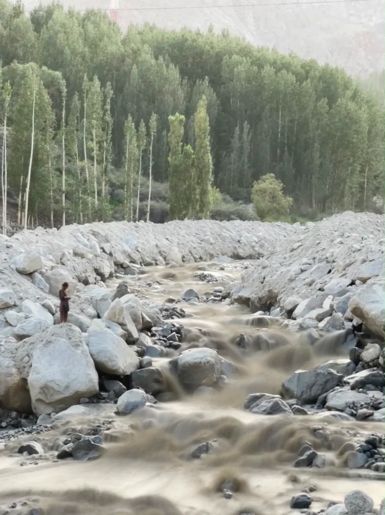
In August 2025, volunteers across Gilgit-Baltistan repaired water channels, a common annual community activity, with no one watching the mountains above them. In Danyore, seven died. A day later in Gulmit, one man’s presence of mind saved the lives of at least 60 people.
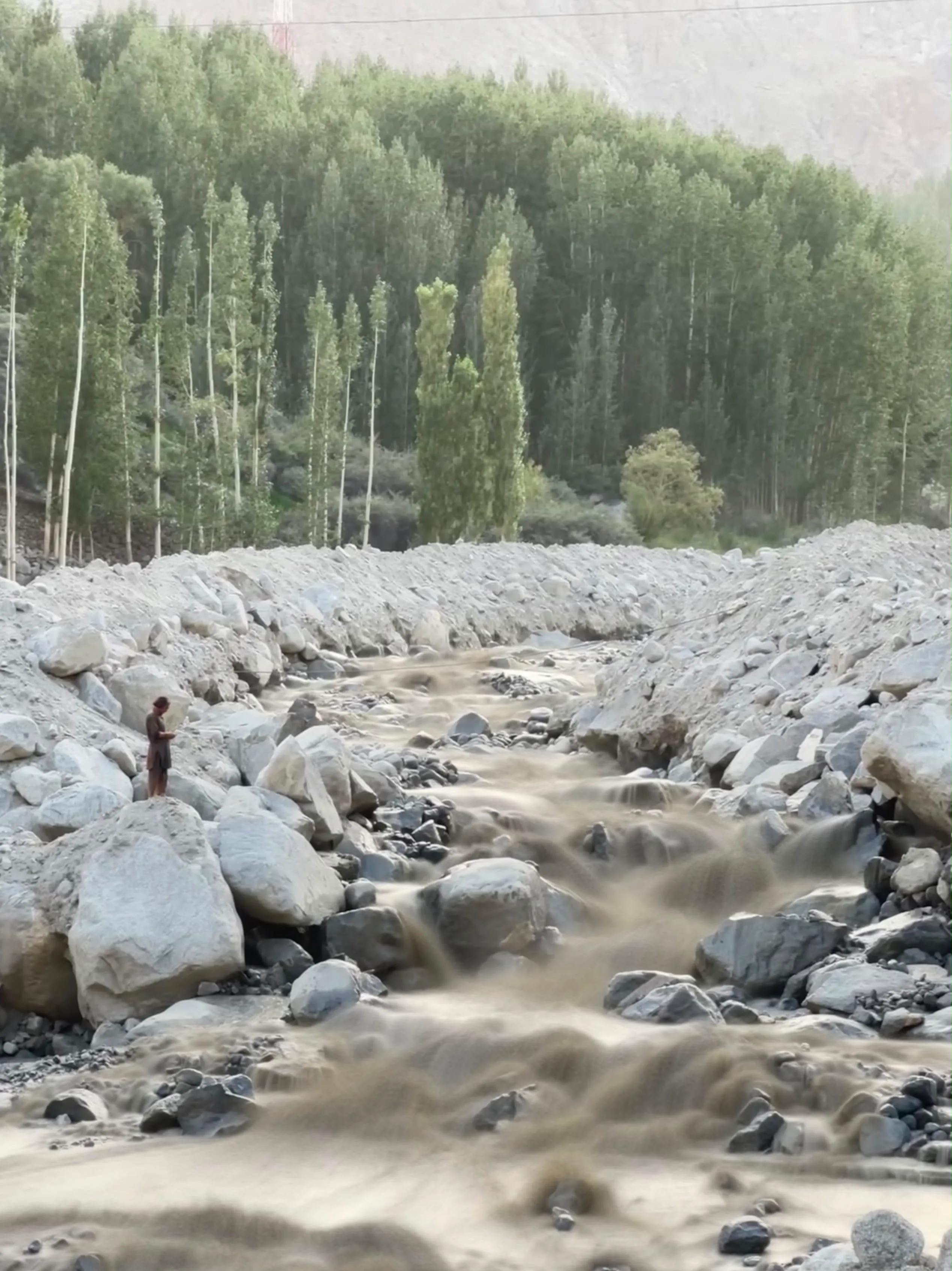
On the afternoon of August 12, 2025, some 60 volunteers from Gulmit made their way up to the base of the Juchar Nallah to do repair work on a water channel that an earlier flood had rendered unusable. In most villages in the region, such water channels provide a vital water supply for irrigation and directly impact the food security of the villagers. Repairs are routinely done in case of damage due to floods or other causes.
In the case of Gulmit, as repair work commenced, the 60 volunteers were scattered across the length of the damaged parts of the water channel, but the lookout duty had not been assigned to anyone – a potentially life-threatening error. One of the volunteers, Karim Ullah Baig, was thirsty and decided to walk up a slope to find water to drink. As he was walking, Karim noticed some changes in the water, both in terms of colour and volume. After a short while, he felt the ground underneath his feet shake, followed by a loud rumble – he knew exactly what was coming and immediately understood the severity of the situation. His first instinct was to shout to the kids and young people nearby to run away from the water channel as he ran headlong up the channel to observe the situation from higher ground, potentially putting his life on the line.
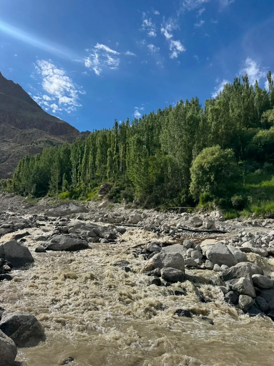
He ran up a short distance to a vantage point and saw the magnitude of the flood. A massive torrent of mud, boulders, and glacial debris coming down at a terrifying speed as he yelled louder and told people to run. Fortunately, every volunteer working down the channel had heard Karim’s call and understood the nature of the situation; all 60 had successfully made it to safety before the flood struck the area. Karim said “So many people were working in one place and there was a lot of noise. When it hit, I was worried that many people hadn’t heard my voice. It’s a miracle that everyone heard it.” They estimated the time between hearing Karim’s call and the flood hitting to be roughly 15 to 20 seconds.

Twenty-nine year old Irfan, one of the volunteers, said, “When I heard Karim Ullah shouting, the only thing I knew to do was run… It was so difficult to run up the hill, I don’t know how I did it, but I was able to run somehow.”
Once the group of volunteers gathered in a safe place, a headcount was done, and much to their relief, every volunteer was accounted for, and no injuries were reported.
The flood went on to destroy a women-run restaurant, a government tourist facility centre, orchards, farmland, electricity infrastructure, and internet poles, according to Rescue 1122. A bridge and sections of the Karakoram Highway were washed away, obstructing the primary access route to the Khunjerab Pass and China.
No siren sounded, and no formal early warning system was activated; instead, the day was saved simply by the shouts of a volunteer looking for water and having been lucky enough to be in the right place at the right time.
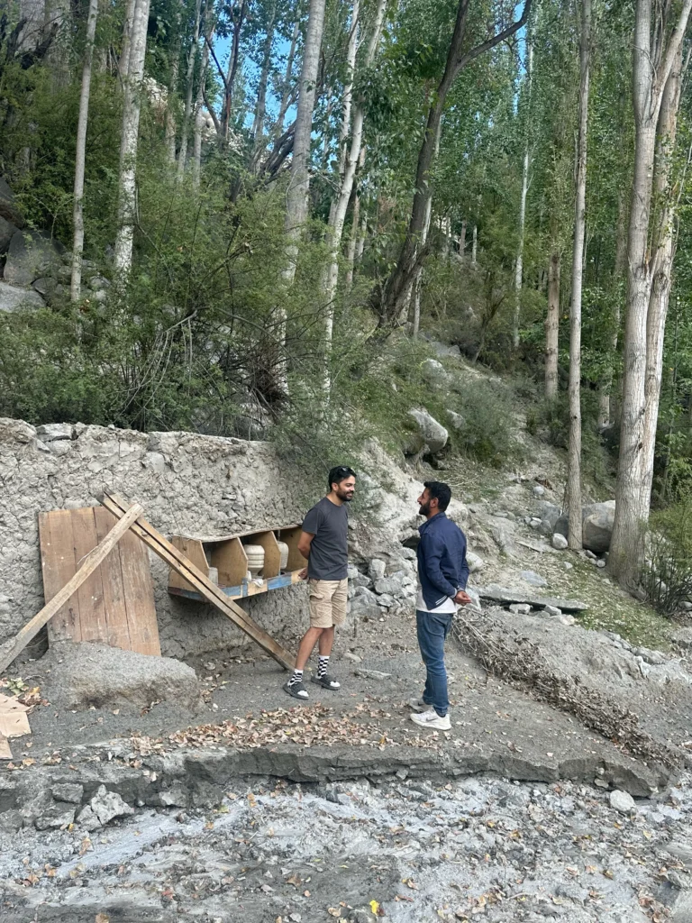
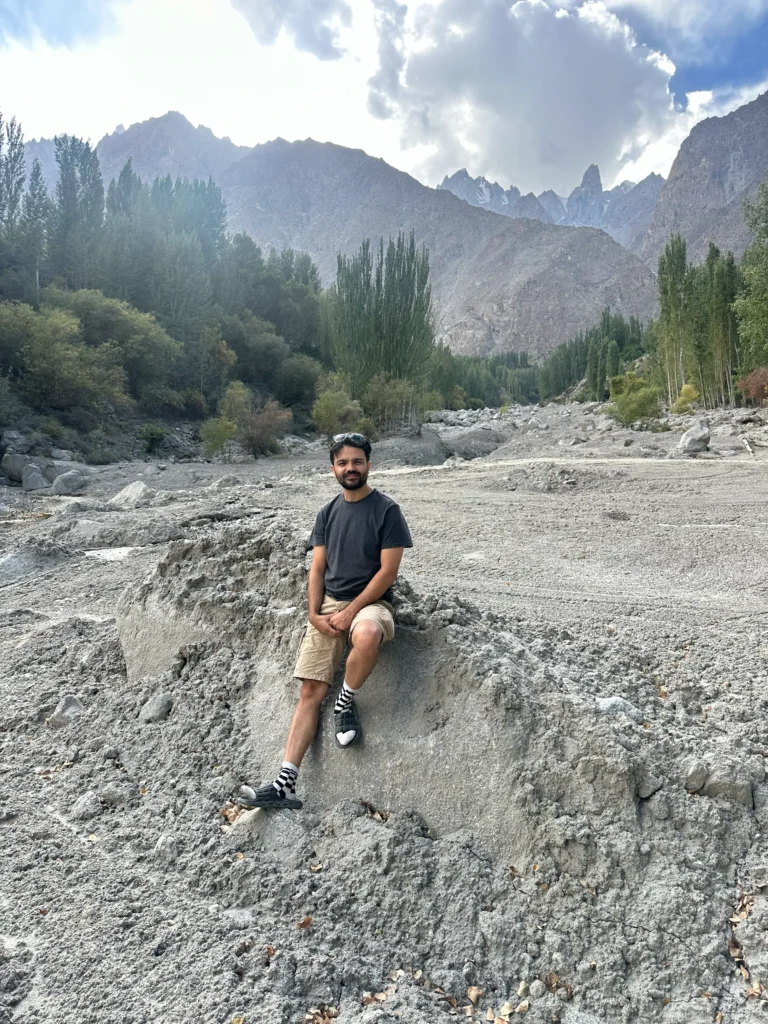
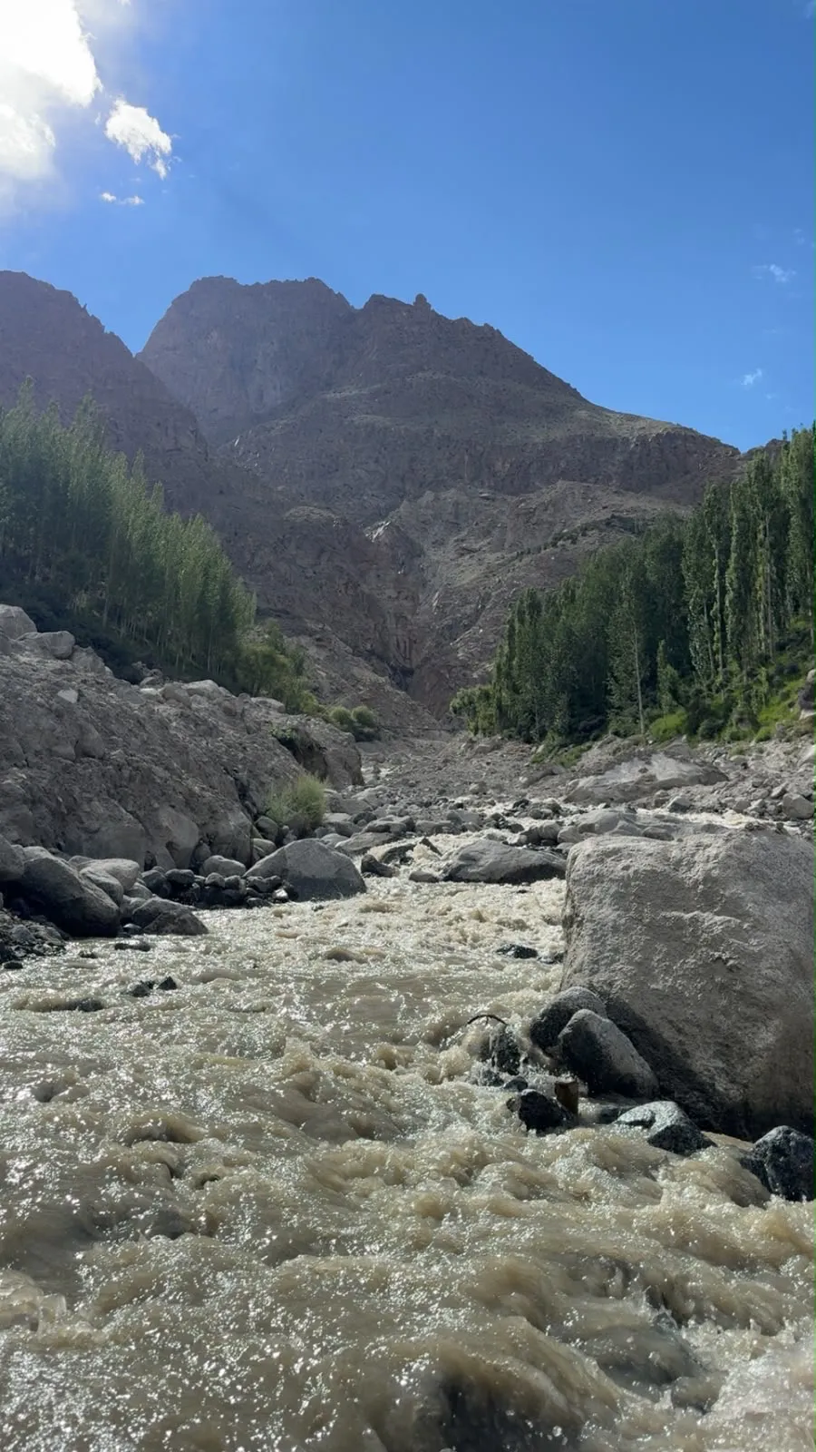
Twenty-Four hours earlier
A day earlier, in Danyore, near Gilgit city, things were different.
At around 2 a.m. on August 11, 13 volunteers, mostly young men, were repairing the main water channel that runs from Danyore nallah down to the town. The water channel had been damaged by flash floods in July and the town residents had gone weeks without water. The group of volunteers was working through the night to avoid the daytime heat and harsh sun when a landslide struck, claiming the lives of seven and injuring six more, as per Rescue 1122.
Piyar Ali, Naik Alam, Adam Ali, Azharuddin, Afaq, Azhar, and Dildar Hussain lost their lives.
The nature of the work in Danyore and Gulmit was the same: ordinary residents with shovels, restoring water channels to their villages after floods. Neither group had a lookout assigned to a vantage point or a warning device. The difference was that in Danyore, nobody happened to be standing at a point where the approaching danger was visible.
Ten days later, a shepherd
At around 3 a.m. on August 22, a glacial lake burst above two villages, Tildas and Roshan in Ghizer’s Gupis valley. Wasiyat Khan, a shepherd from Roshan who was near the glacier, used his mobile phone to alert the villages below. Fortunately, residents had sufficient time to evacuate the area, and local volunteers helped move them to safer ground.
The flood devastated about 80 percent of Tildas, displaced 65 households, and blocked the Ghizer River for six hours, “as the state’s vaunted flood alerts rang hollow,” according to Dawn. There were no reported casualties, and the Gilgit-Baltistan police later awarded Wasiyat Khan with an official certificate of commendation.
A little over a week earlier, on August 14, floods had claimed the lives of 13 people in Ghizer. The floods devastated these areas with no early warning system in place.
Where was the machine?
Gilgit-Baltistan (GB) does not completely lack early detection technology. In Gilgit Baltistan, under the flagship $37 million GLOF-II project, weather monitoring infrastructure and discharge sensors cover 211 distinct locations spanning 18 locations across ten districts. According to the Pakistan Meteorological Department (PMD), 92 active early warning and monitoring stations are operational within GB.
However, neither of the aforementioned systems covers Juchar Nallah and Tildas, while Danyore only receives partial coverage. This is because it is nearly impossible to cover the entirety of GB, considering its expansive geographic footprint. Hence, collectively, the UNDP and PDM designed a scientific criterion to choose a limited number of targeted areas. The criteria take into account, among other things, the size of the glacial lake, proximity to human settlements, and evidence of structural failures in glaciers.
These systems are not perfect and have shown inherent limitations even in the areas that are covered. The systems frequently miss the most common and disastrous events, flashfloods, cloudbursts, and mudslides, as they are primarily designed to monitor valley floors and the edges of lower glacial lakes. Unlike fluid water, flood torrents usually carry massive boulders and other debris and travel at very high speeds. When such a torrent reaches the sensors, it instantly buries or crushes them before they have a chance to transmit a second alert or trigger subsequent sirens.
In all three August cases, the people closest to the danger were not officials, engineers, or warning systems, but ordinary residents doing routine tasks – repairing a channel, grazing livestock, and so on.
A lookout costs nothing
In Gulmit, no one had been assigned to watch the nallah while the volunteers worked. As luck would have it, Karim Ullah happened to be walking up the slope. Since bringing all the villages under the coverage of the early warning technology is impractical, local residents can be instrumental in saving lives during such extreme events.
One of the proposals that local communities have come up with proposes institutionally recruiting local residents, i.e., shepherds as ‘community-based early warning volunteers’ and equipping them with the necessary tools, particularly during seasons that are most prone to flooding. Such an arrangement with a modest salary and the necessary communication tools could save countless lives.
Another proposal, partly supported by a paper published by the Makeistan Innovation Hub, Pakistan, suggests community engagement and input in low-cost locally produced detection sensors. The study demonstrates the implementation and successful use of multiple prototypes designed with direct input from the locals.
It is equally pertinent to disaster response and early detection that local populations be trained on specific technologies. This includes deploying a limited number of low-cost drones to villages and training a select few on the operations so that, paired with or without the locally produced sensors, local residents can routinely monitor high-risk areas.
This arrangement would utilise the wisdom of indigenous knowledge, as locals already use weather patterns, rises in temperature, and other factors to predict flash floods. They are also able to assess which seasons make such events more likely. Access to these technologies would allow them to monitor effectively and be more vigilant.
Back at Juchar Nallah
The village of Gulmit is considering the aforementioned proposals, some of which have already been implemented, including the appointment of local residents as community sentinels. Additionally, many community-based efforts to improve response during such events are underway. This includes systematic changes in the processes of communal work in high-risk areas – always designating at least one person as sentry and having functional communication tools. Locals are now more involved in formal training for disaster response.
Quotes from Karim Ullah Baig and Irfan were translated from [Wakhi/Urdu] by the author.

This story was developed as part of the Himalayan Climate Watch Network’s inaugural Indigenous Climate Knowledge Fellowship (2026), supporting Indigenous and community-rooted practitioners to document environmental change and local knowledge across the Himalaya. HCWN is a Mudland Climate Lab initiative.